
What's Happening?
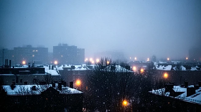
A major winter storm is expected to hit the tri-state area, bringing significant snowfall starting late Friday afternoon and continuing into Saturday morning. Forecasts predict up to 6 inches of snow for
New York City, Long Island, and central New Jersey, with potentially higher amounts in the Hudson Valley and North Jersey. This storm marks the largest snowfall event for the region in nearly four years, with Central Park potentially seeing its biggest accumulation since January 2022. A winter storm watch is in effect, and the storm is expected to impact post-Christmas travel significantly.
Why It's Important?
The anticipated snowfall is significant due to its potential impact on travel and daily activities in one of the most densely populated regions in the United States. With temperatures remaining below freezing, the storm could lead to hazardous road conditions, affecting commuters and holiday travelers. The storm also highlights the challenges of urban snow management, including snow removal and public safety. Additionally, the event underscores the importance of preparedness for extreme weather conditions, which are becoming increasingly unpredictable due to climate change.
What's Next?
Following the snowstorm, another weather system is expected to bring rain on Sunday night, which could lead to melting snow and isolated flooding. This sequence of weather events may cause further travel disruptions and require ongoing attention from local authorities to manage road safety and public services. Residents are advised to stay informed about weather updates and prepare for potential delays and hazardous conditions.