



What's Happening?
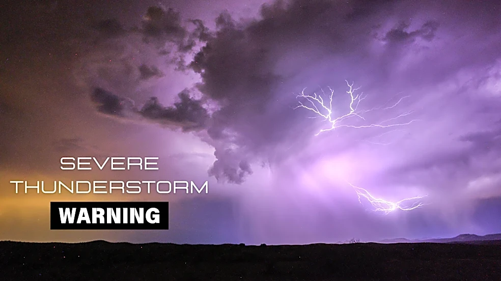
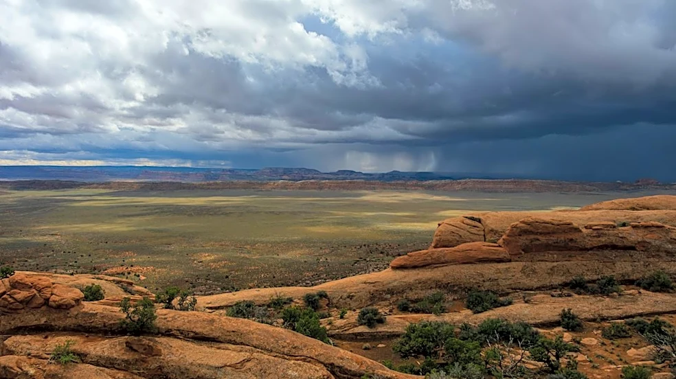
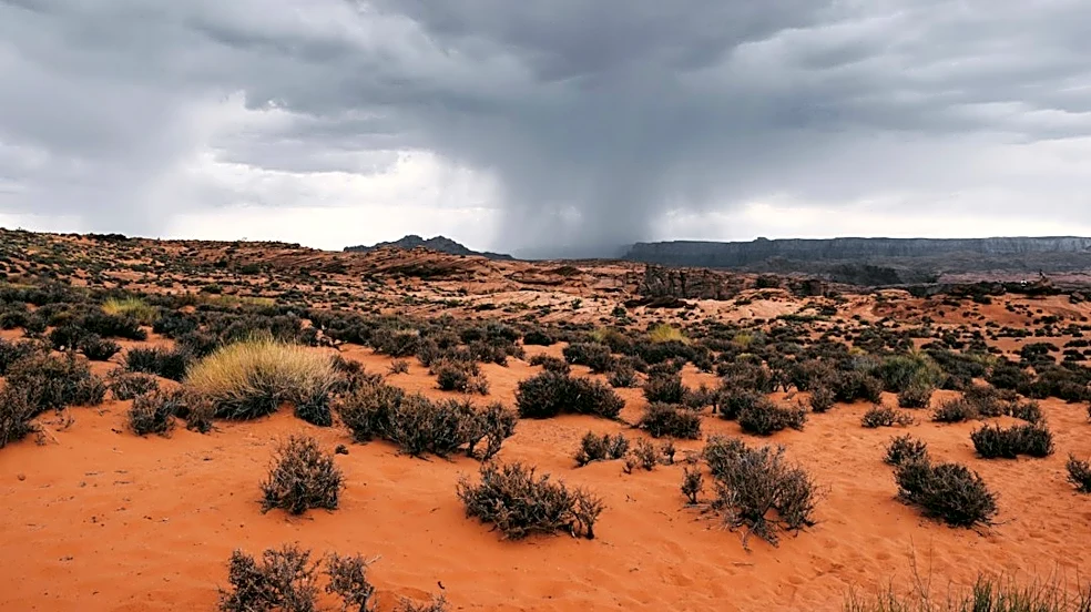
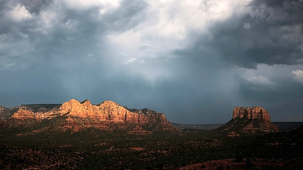
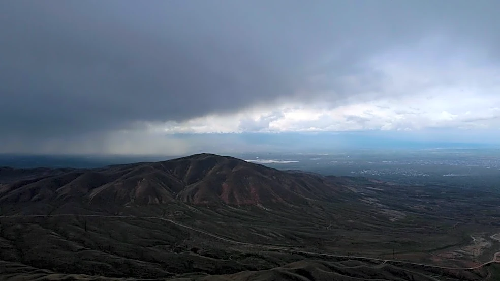
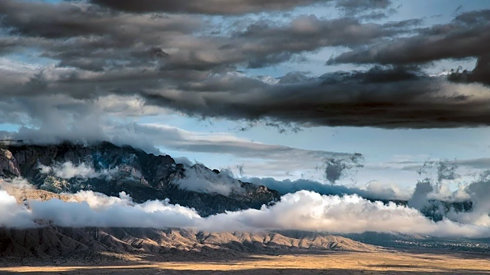
Arizona is currently under 'First Alert Weather Days' for Wednesday and Thursday due to the potential for strong storms and heavy rain across the state. Severe weather has already led to multiple tornado warnings in parts of the High Country early Wednesday morning.
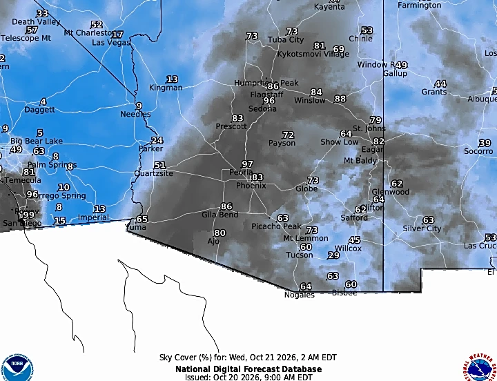
Northeastern, northern, and northwestern Arizona are under a tornado watch until 6 p.m., with the National Weather Service (NWS) Flagstaff indicating the possibility of a few tornadoes, hail up to the size of a tennis ball, and scattered wind gusts up to 70 miles per hour. Additional tornado warnings were issued later in the morning for portions of Yavapai and Coconino counties, including Flagstaff and surrounding areas, based on radar-indicated rotation. There is a slight risk of severe storms with tornadoes throughout Wednesday and Thursday, particularly in the High Country, with the Valley also facing a slight risk. A Flood Watch is also in effect for Wednesday and Thursday due to the potential for heavy rain.
Why It's Important?
The declaration of 'First Alert Weather Days' and the issuance of tornado and flood watches underscore a significant threat to public safety and property across Arizona. The potential for tornadoes, even if slight, represents a serious danger to life and infrastructure, requiring immediate attention and preparedness from residents. Hail the size of tennis balls can cause extensive damage to vehicles, homes, and agricultural crops, leading to considerable financial losses for individuals and the state's economy. Heavy rainfall and the associated Flood Watch increase the risk of flash flooding, which can disrupt transportation, isolate communities, and pose a direct threat to those caught in floodwaters. These severe weather events can strain emergency services, impact local businesses, and cause widespread disruption, highlighting the critical need for effective communication and rapid response mechanisms.
What's Next?
The 'First Alert Weather Days' for strong storms and heavy rain will continue through Thursday across Arizona. Valley rain and storm chances are approximately 40 percent for Wednesday morning, increasing to 60 percent by the afternoon, evening, and overnight hours. The threat of hail and wind damage remains possible during this period. Thursday's storm chances are also expected to be high, with the potential for continued severe weather. However, the forecast indicates that Friday and the upcoming weekend are likely to be dry, suggesting a clearing of the severe weather pattern. Residents are advised to stay informed through local weather updates and to take necessary precautions, especially those in areas under tornado or flood watches, to ensure their safety and protect their property.
Beyond the Headlines
The recurring severe weather events in Arizona, including tornado warnings and significant hail, prompt a deeper examination of climate resilience and adaptation strategies in a region traditionally known for its arid conditions. The increased frequency or intensity of such events could necessitate long-term planning for infrastructure improvements, such as enhanced drainage systems and more robust building codes, to withstand extreme weather. Furthermore, public education campaigns may need to be intensified to ensure residents are adequately prepared for hazards like tornadoes and flash floods, which might be less familiar than heat-related risks. The economic impact could extend to changes in agricultural practices, increased insurance costs, and potential shifts in population distribution as communities assess their vulnerability to these evolving weather patterns. This situation highlights the broader challenge of adapting to climate change and its varied manifestations across different geographical regions.