



What's Happening?
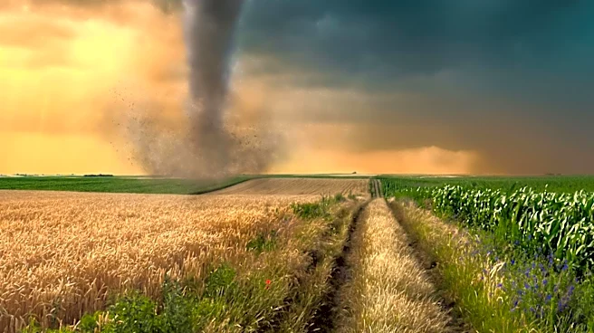
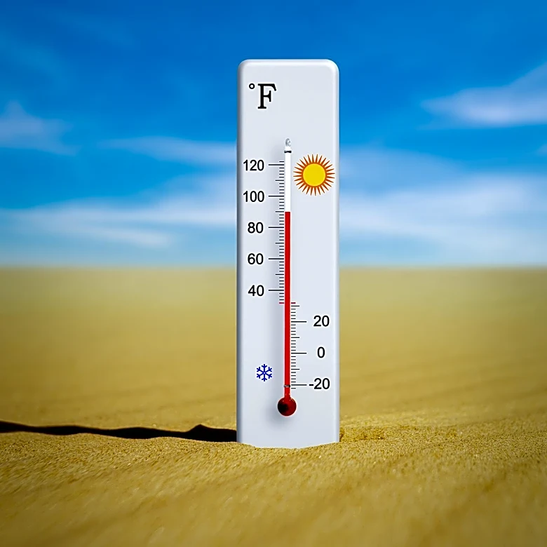
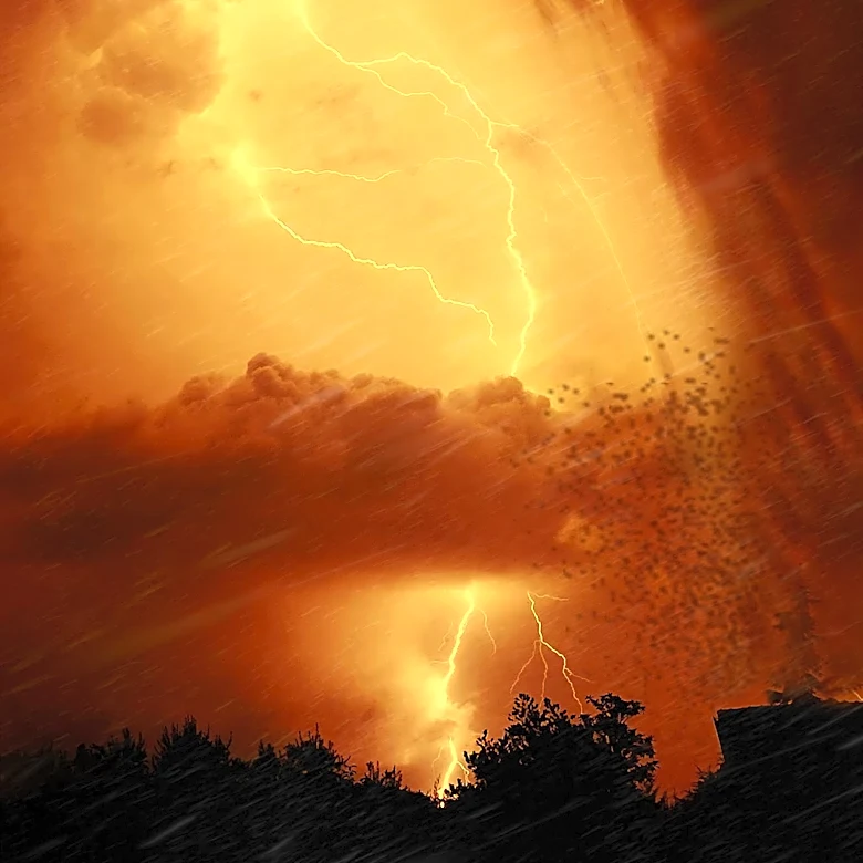
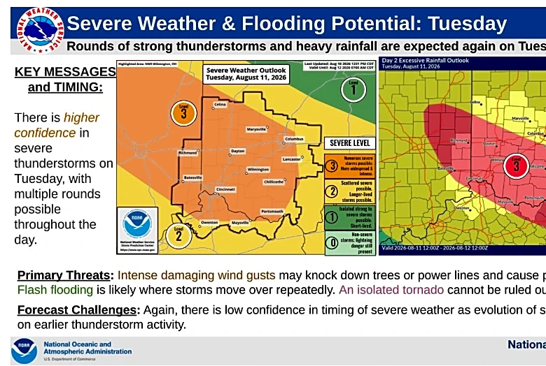
Maryland is experiencing severe weather conditions, prompting the issuance of thunderstorm and tornado warnings. The state began the week with high temperatures and increased humidity, with heat indices reaching near 100 degrees. The severe weather is expected
to bring damaging winds, small hail, isolated tornadoes, and heavy downpours. The forecast indicates more widespread rain on Tuesday, with spotty storms continuing into Wednesday. However, a decrease in rain chances and humidity levels is anticipated by the end of the week, offering some relief from the oppressive weather conditions.
Why It's Important?
The severe weather warnings are critical for public safety, as they alert residents to potential hazards such as tornadoes and damaging winds. These conditions can lead to property damage, power outages, and disruptions to daily life. The high temperatures and humidity also pose health risks, particularly for vulnerable populations such as the elderly and those with pre-existing health conditions. The warnings serve as a reminder of the importance of preparedness and the need for residents to stay informed and take necessary precautions to protect themselves and their property.
What's Next?
As the severe weather continues, residents are advised to monitor local weather updates and heed any warnings issued by authorities. Emergency services and local governments may prepare for potential impacts, including deploying resources to respond to any damage or emergencies. The anticipated decrease in humidity and rain by the weekend could provide an opportunity for recovery and assessment of any damage caused by the storms. Long-term, these weather patterns may prompt discussions on infrastructure resilience and climate adaptation strategies in the region.