
What's Happening?
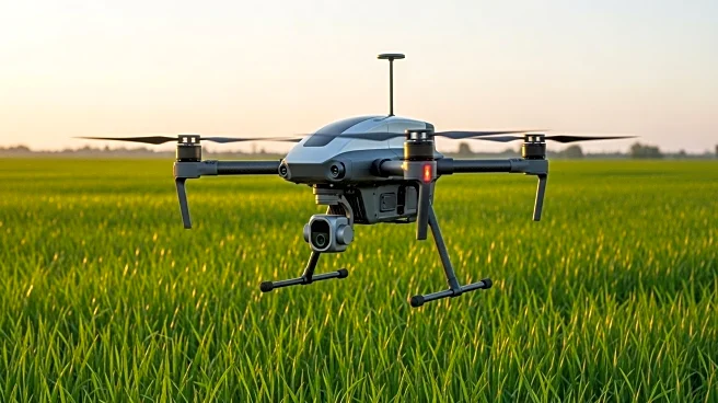
Czech startup Skymaps has launched Zoneye, an AI-powered tool that enables farmers to train the system to recognize weeds specific to their regions. Zoneye is integrated into Skymaps' CultiWise platform and uses drone images to identify 37 common weed species among major crops. This tool allows farmers to reduce input costs by up to 50% and increase yields by up to 20%. Farmers can upload drone images to the cloud-based software, which processes them to generate precise maps indicating weed locations. These maps guide machinery to apply herbicides only where needed, optimizing resource use and minimizing environmental impact.
Why It's Important?
Zoneye represents a significant advancement in precision agriculture, offering farmers a powerful tool to manage weeds more effectively and sustainably. By reducing herbicide use, the tool not only cuts costs but also lessens the environmental footprint of farming operations. This innovation could lead to higher crop yields and improved profitability for farmers, addressing some of the key challenges in modern agriculture. The ability to customize the tool for local conditions further enhances its utility, making it a versatile solution for diverse agricultural environments.