






What's Happening?
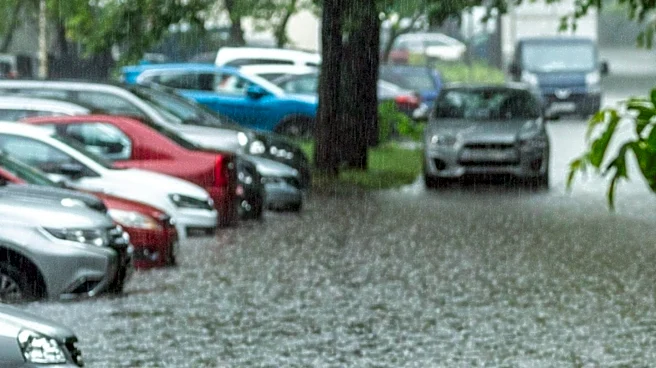
Maryland is preparing for another round of severe weather as a slow-moving cold front is expected to bring showers and thunderstorms across the Baltimore area. The forecast predicts heavy downpours that could lead to localized flash flooding, particularly
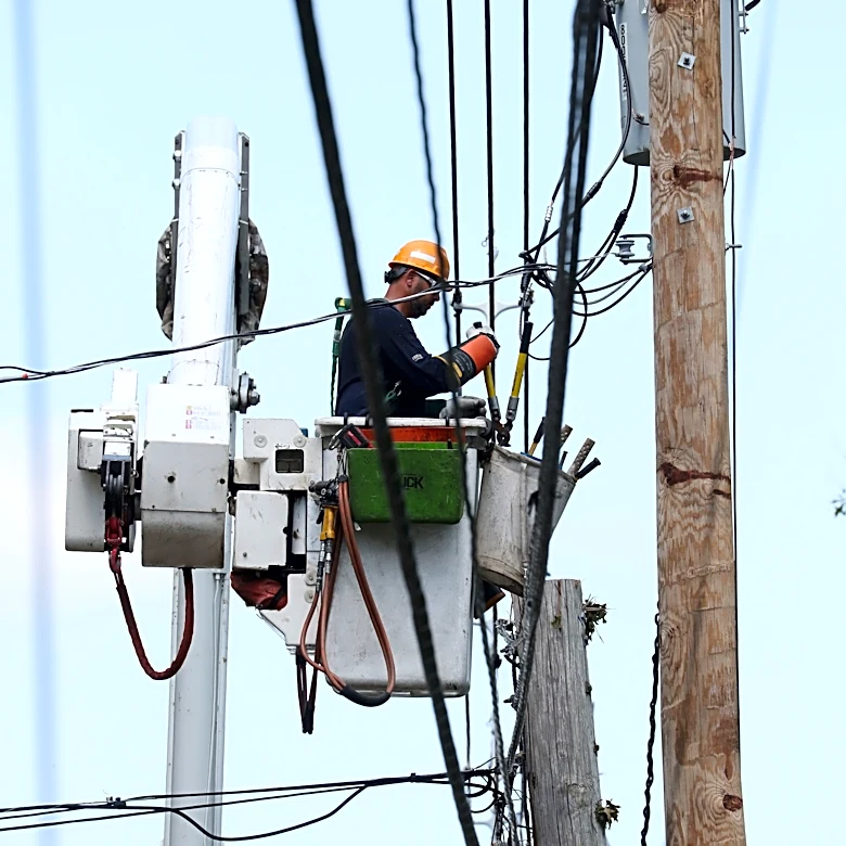
in areas with poor drainage. The weather is expected to clear temporarily with drier air moving in, but heat and humidity will return midweek, bringing daily chances of thunderstorms through the weekend. Temperatures are anticipated to rise into the upper 80s and lower 90s, with heat indices nearing 100 degrees. Residents are advised to stay informed through weather alerts and to report any power outages or fallen power lines to Baltimore Gas and Electric.
Why It's Important?
The anticipated severe weather poses significant risks to public safety and infrastructure in Maryland. Flash flooding can disrupt transportation and damage property, while high temperatures and humidity increase the risk of heat-related illnesses. The potential for power outages due to storm conditions could affect thousands of residents, emphasizing the importance of preparedness and timely communication from utility companies. The situation underscores the need for effective emergency response and public awareness to mitigate the impact of such weather events.
What's Next?
As the weather system progresses, residents should monitor updates from local authorities and weather services. Baltimore Gas and Electric is prepared to respond to outages and advises the public to report any issues promptly. The community is encouraged to take precautions against heat and flooding, and to stay informed through local news and weather apps. The return of heat and humidity later in the week suggests ongoing vigilance will be necessary.