

What's Happening?
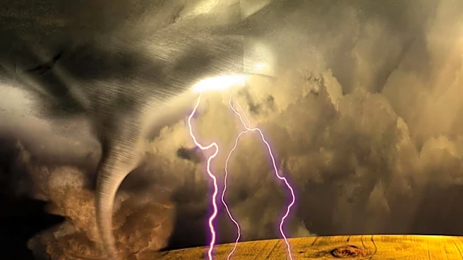
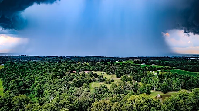
Meteorologists are predicting a return of rain and storms to Southeast Wisconsin starting Sunday morning. After a calm Saturday night, clouds are expected to increase, leading to the first round of rain and thunderstorms by late morning or early afternoon.
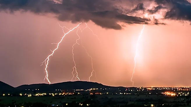
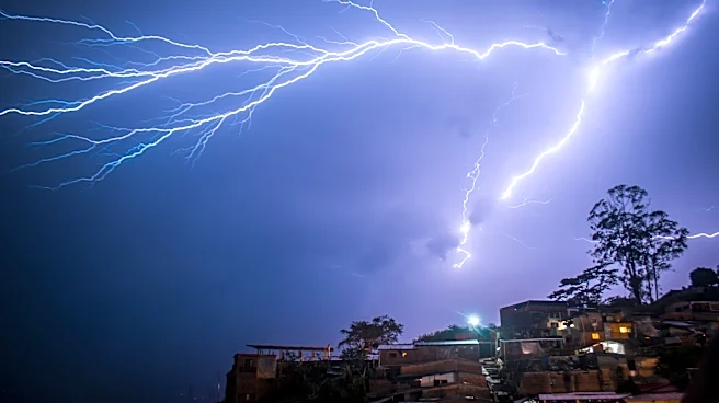
These storms may bring lightning, heavy rainfall, and gusty winds. A second round of storms is anticipated Sunday evening into Sunday night, with the potential for localized flooding, strong winds, and hail. The forecast remains unsettled heading into the first half of the upcoming workweek, with residents advised to stay weather aware and have plans for shelter during outdoor activities.
Why It's Important?
The forecasted storms could impact daily activities and outdoor plans for residents in Southeast Wisconsin. Heavy rainfall and potential flooding may disrupt transportation and cause property damage. The weather conditions could also affect local businesses, particularly those reliant on outdoor operations. Residents are urged to stay informed about weather warnings and prepare for possible disruptions. The situation underscores the importance of effective communication and preparedness in dealing with severe weather events, which can have significant social and economic impacts.
What's Next?
Residents in Southeast Wisconsin should monitor weather updates and warnings, adjusting their plans accordingly. Local authorities may issue advisories or warnings as the situation develops, and emergency services could be on alert for potential flooding or storm-related incidents. The community may need to prepare for possible power outages or transportation disruptions. As the forecast remains unsettled, ongoing vigilance and preparedness will be crucial in minimizing the impact of the storms.