


What's Happening?
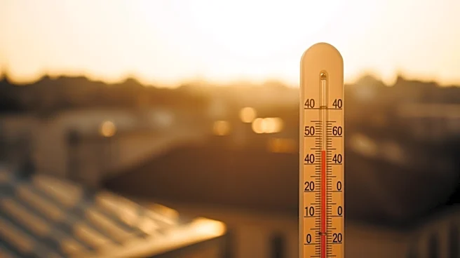
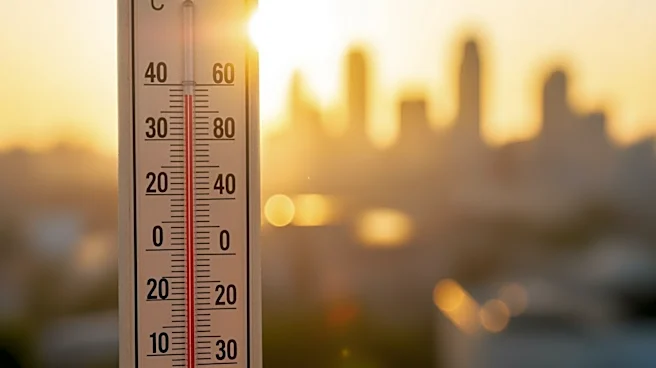
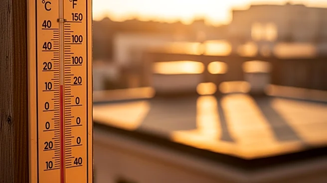
Philadelphia is experiencing its hottest day of the current heatwave, with temperatures expected to reach the mid-90s. The heatwave, which is the second of the year, has temperatures running 10-15 degrees above normal. Despite the high temperatures, humidity
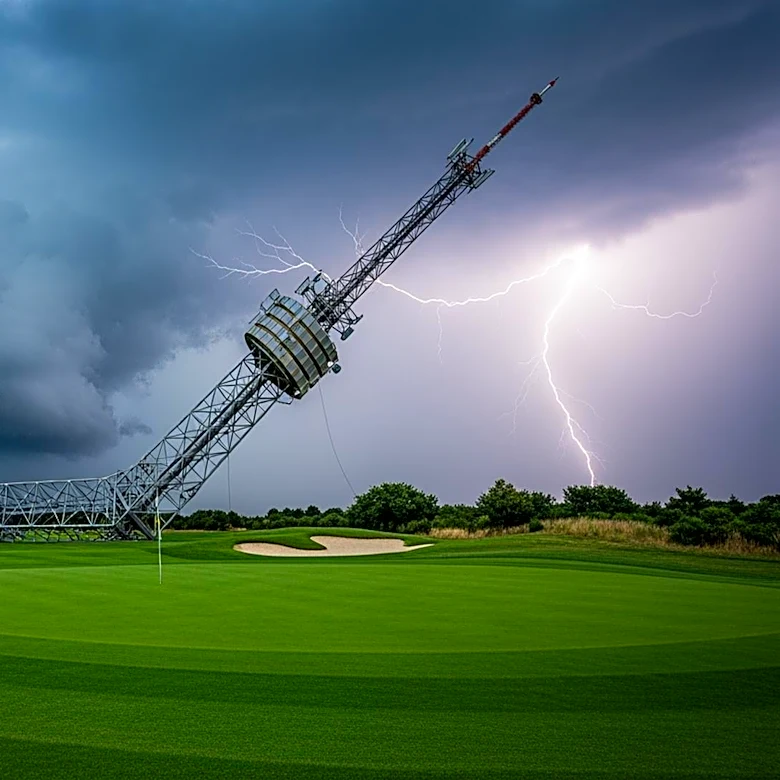
levels are expected to remain relatively low. However, as a weather front approaches, there is a risk of strong to severe storms in the evening. These storms could bring gusty winds, brief downpours, and possibly large hail. Parts of the area are under a level 2 risk for severe storms, with damaging winds being the greatest threat. There is also a chance of tornadoes in parts of Pennsylvania and Ohio.
Why It's Important?
The heatwave and potential severe weather pose significant risks to the Philadelphia area. High temperatures can lead to heat-related illnesses, particularly among vulnerable populations such as the elderly and those without access to air conditioning. The risk of severe storms adds another layer of danger, with the potential for property damage and power outages. The situation highlights the need for preparedness and awareness among residents, as well as the importance of monitoring weather updates and having contingency plans for outdoor activities.
What's Next?
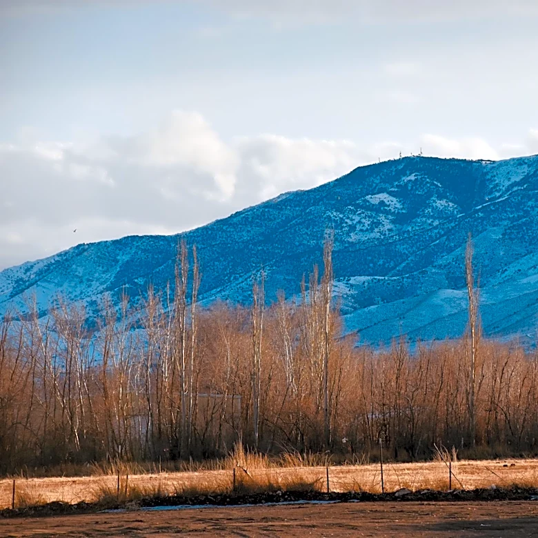
Following the heatwave, a brief cool down is expected early next week, with temperatures returning to mid-summer levels by mid-week. There is also the potential for another heatwave heading into the following weekend. Residents are advised to stay informed about weather conditions and to take necessary precautions to stay safe during extreme weather events.