
What's Happening?
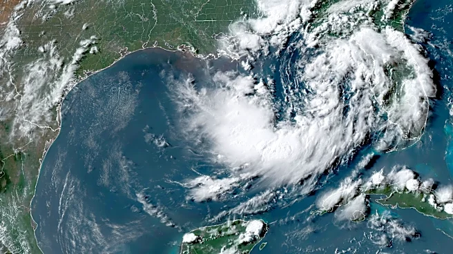
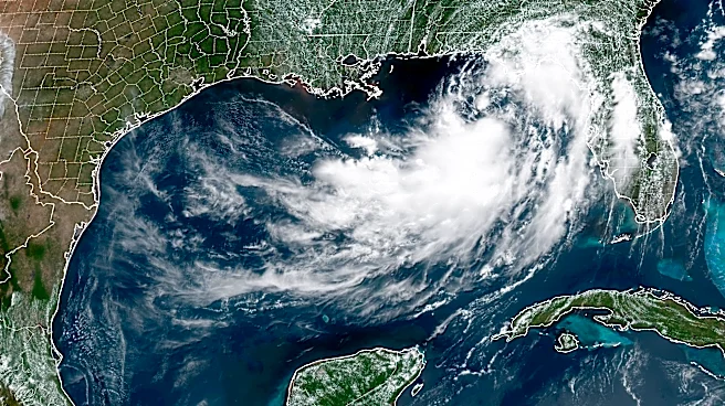
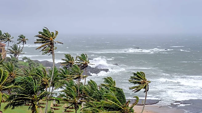
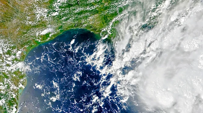
Tropical Storm Bertha has formed in the Gulf of Mexico, south of the Florida Panhandle, and is expected to intensify as it approaches the U.S. Gulf Coast. The National Hurricane Center reports that Bertha is currently
located about 110 miles south of Panama City, Florida, with maximum sustained winds of 40 mph. The storm is moving west-northwest at a slow pace of 3 mph and is anticipated to bring heavy rain, storm surge, and damaging wind gusts to coastal areas of northern Florida, Alabama, Mississippi, and Louisiana. A tropical storm watch is in effect from the Ochlockonee River in Florida to southeastern Louisiana, including the Jefferson and Plaquemines parish line.
Why It's Important?
The formation of Tropical Storm Bertha poses significant risks to the Gulf Coast, an area frequently impacted by severe weather events. The potential for heavy rainfall and storm surges could lead to flooding, property damage, and disruptions in daily life for residents in the affected regions. The storm's impact on infrastructure and local economies could be substantial, particularly in areas still recovering from previous weather events. Emergency services and local governments are likely to be on high alert, preparing for possible evacuations and the need for disaster response efforts.
What's Next?
As Tropical Storm Bertha continues to move towards the Gulf Coast, residents in the affected areas are advised to stay informed through official weather updates and heed any warnings or evacuation orders issued by local authorities. The storm's progression will be closely monitored by meteorologists, and further strengthening is possible as it approaches land. Communities along the coast should prepare for potential power outages, road closures, and other disruptions associated with severe weather conditions.