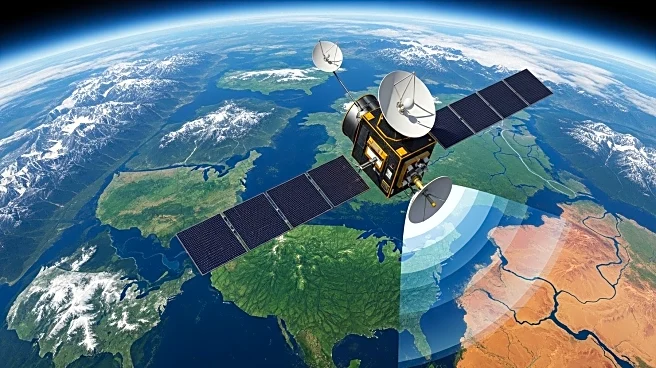

What's Happening?
NASA, in collaboration with the Indian Space Research Organization (ISRO), has released the first radar images from their new Earth-mapping satellite, NISAR. These images showcase the Maine coast and North Dakota farmland, captured by the satellite launched two months ago. NISAR, flying in a near-polar orbit, is designed to survey global land and ice masses, providing critical data for monitoring environmental changes and natural disasters. The satellite's operations are set to begin in November, offering detailed insights into land and ice dynamics.
Why It's Important?
The NISAR satellite represents a significant advancement in Earth observation technology, offering high-resolution radar imagery that can track subtle changes in the Earth's surface. This capability is vital for disaster management, enabling more accurate predictions and responses to events such as floods, landslides, and volcanic eruptions. The data provided by NISAR will support environmental monitoring and contribute to climate change research, benefiting scientists, policymakers, and emergency responders worldwide.
What's Next?
As NISAR begins its science operations in November, it will continue to capture and analyze data on a global scale. The satellite's findings will be crucial for ongoing research into environmental and climate dynamics, potentially influencing policy decisions and resource management strategies. Collaboration between NASA and ISRO may also lead to further joint missions, enhancing international cooperation in space exploration and Earth science.