






What's Happening?
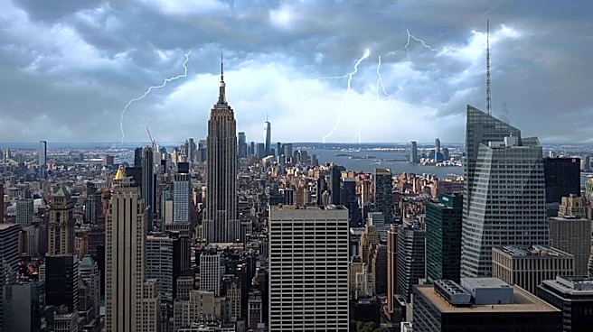
New York City is preparing for another round of severe weather following last week's heat wave and smoky skies. According to Bill Goodman, a meteorologist for the National Weather Service, two storms are expected to hit the city on Tuesday, starting around
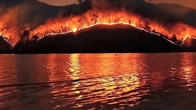
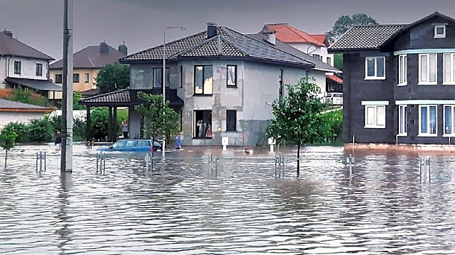
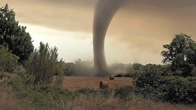
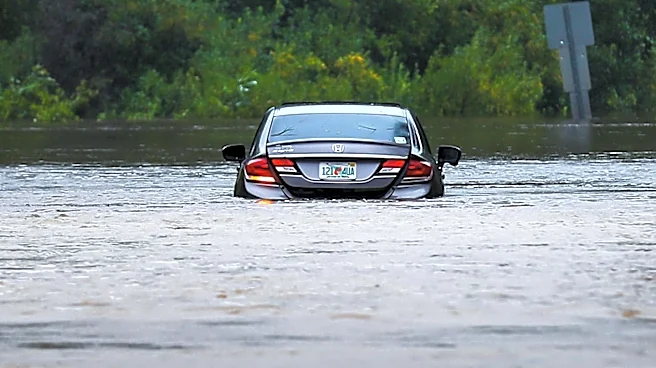
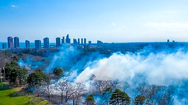
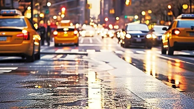
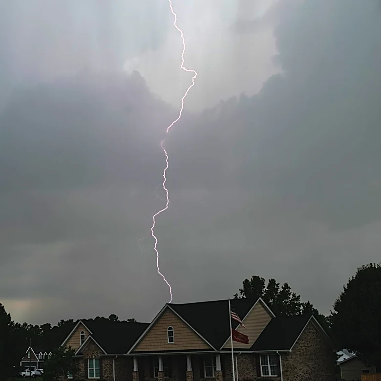
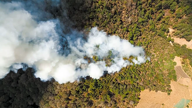
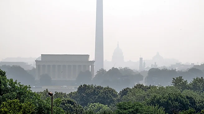
noon and lasting until approximately 10 p.m. The storms are anticipated to bring heavy rainfall, with wind gusts potentially reaching 40 miles per hour. There is also a slight chance of hail and a tornado, although the likelihood of a twister is considered low. The city could experience a couple of inches of rain, raising concerns about flash flooding. This weather pattern follows a recent period of poor air quality due to smoke from Canadian wildfires and heavy thunderstorms that flooded parts of the city over the weekend.
Why It's Important?
The anticipated severe weather poses significant risks to New York City, particularly in terms of flash flooding and potential property damage from high winds. The city's infrastructure and emergency services may be tested as they respond to these conditions. Additionally, the weather could disrupt daily activities, transportation, and business operations. The recent smoke from Canadian wildfires has already impacted air quality, and continued adverse weather could exacerbate these conditions. Residents are advised to stay informed and take necessary precautions to ensure safety. The situation underscores the broader challenges cities face in managing extreme weather events, which are becoming more frequent and intense due to climate change.
What's Next?
Residents of New York City are encouraged to monitor weather updates and heed any warnings issued by local authorities. The National Weather Service advises keeping an eye on the sky and being prepared to take action if severe weather threatens. The forecast for Wednesday also indicates a 50% chance of additional rain and thunderstorms, suggesting that the city may continue to experience unsettled weather conditions. As the week progresses, temperatures are expected to stabilize, ranging from the 70s to the mid-80s, providing some relief from the recent heat wave.