






What's Happening?
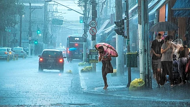
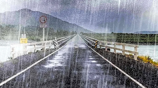
Western Washington is preparing for a series of strong wind and rain storms expected to impact the region this weekend and into next week. An initial storm system will bring gusty southerly winds, reaching 40 to 50 mph along the Washington Coast and North
Puget Sound through Friday. Rain is also anticipated to spread into the Seattle metro area. Saturday will offer a brief dry and warmer period with highs in the 60s before a second, more potent storm arrives. This second system, expected Saturday evening through early Sunday morning, will deliver wind gusts of 40 to 45 mph across the Puget Sound region, with stronger gusts along the coast and northern Western Washington. Ocean swells near 20 feet are also possible. The active weather pattern, characterized by lowland rain, strong winds, and high-elevation mountain snow, is projected to continue into the following week.
Why It's Important?
This series of storms carries significant implications for residents and infrastructure across Western Washington. The anticipated strong winds, particularly those reaching 40-50 mph, pose a risk of power outages and tree damage, especially since many trees still retain their leaves, making them more susceptible to wind. Such disruptions can affect daily commutes, business operations, and public safety. The combination of heavy rain and strong winds can also lead to hazardous driving conditions and potential localized flooding. For coastal areas, the projected 20-foot ocean swells present a danger to maritime activities and could cause coastal erosion. The prolonged active weather pattern suggests a sustained period of potential challenges for emergency services and utility providers in managing and responding to weather-related incidents.
What's Next?
Residents in Western Washington are advised to remain weather-aware, particularly from Saturday evening through early Sunday morning, when the strongest winds are expected. Utility companies and emergency services will likely be on high alert to address potential power outages and storm-related damage. The forecast indicates that the active weather pattern will persist into next week, bringing additional rounds of rain and wind. While snow levels are expected to remain high (above 5,000 feet), meaning major mountain passes will likely see rain rather than snow, the overall unsettled conditions will require ongoing monitoring. The exact trajectory and intensity of future storm systems and atmospheric rivers remain uncertain, necessitating continuous updates from weather authorities.
Beyond the Headlines
The recurring pattern of strong storms in the Pacific Northwest highlights the region's susceptibility to dynamic weather systems, particularly during the late fall and winter months. The potential for widespread power outages underscores the importance of community preparedness and resilient infrastructure. This weather event also serves as a reminder of the broader impacts of climate variability on regional weather patterns, potentially influencing the frequency and intensity of such storms. The need for robust emergency response plans and public awareness campaigns becomes increasingly critical in mitigating the socio-economic disruptions caused by severe weather. Furthermore, the impact on natural ecosystems, such as increased erosion and stress on urban tree canopies, could have long-term environmental consequences.