


What's Happening?
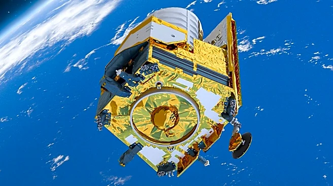
NASA has confirmed the return of El Niño, a climate phenomenon characterized by warmer-than-normal water temperatures in the equatorial Pacific. This development was observed through satellite data from the Sentinel-6 Michael Freilich satellite, which
detected higher-than-normal sea surface heights in the central and eastern Pacific. The National Oceanic and Atmospheric Administration (NOAA) declared El Niño conditions on June 11, 2026, and expects these conditions to strengthen into the Northern Hemisphere winter of 2026-27. El Niño typically occurs every two to seven years and can last nine to 12 months. It is known to influence global weather patterns, including milder winters in northern parts of the U.S. and wetter conditions in the southern U.S.
Why It's Important?
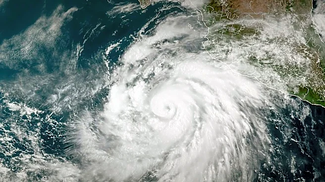
The return of El Niño is significant due to its potential to alter weather patterns globally, impacting agriculture, wildfires, and marine fisheries. In the U.S., it could lead to milder winters in the north and increased rainfall in the south, affecting farming and water resources. The phenomenon can also be linked to severe storms, droughts, and flooding, posing challenges for disaster preparedness and response. Economically, sectors such as agriculture and fisheries may experience disruptions, while infrastructure may face increased strain from extreme weather events.
What's Next?
NOAA predicts a 63% chance of a 'very strong' El Niño during November-January, which could rank among the largest events since 1950. This could lead to more pronounced weather impacts, prompting governments and industries to prepare for potential disruptions. Monitoring and forecasting efforts will continue to assess the strength and duration of El Niño, guiding policy and response strategies.