

What's Happening?
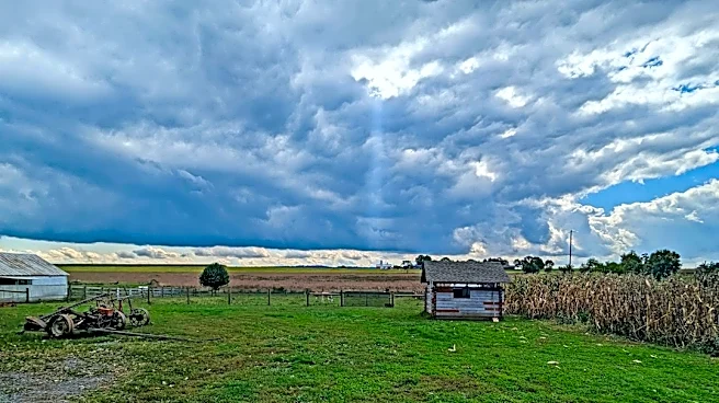
The Butte area is experiencing milder than average weather for mid-November, with partly cloudy conditions expected on Sunday. While far western Montana saw some light rain and mountain snow showers on Saturday due to a weak disturbance, a ridge of high
pressure will largely control the weather in Montana and Wyoming on Sunday, leading to above-average high temperatures. Isolated showers are still possible west of the Divide. A Pacific trough is anticipated to move inland on Sunday, increasing cloud cover from west to east on Monday. Far western Montana will likely see rain and snow on Monday, with other areas experiencing these conditions later. A disturbance pushing over the northern Rockies on Tuesday and early Wednesday will bring cooler air, changing much of the rain to snow. However, this storm is not expected to be as potent as initially forecast, limiting the amounts of rain and snow, with eastern areas potentially remaining warm enough for only rain. Thursday is predicted to be a quieter day, with limited snow shower activity by next Friday.
Why It's Important?
The fluctuating weather patterns in the Butte area, transitioning from mild conditions to potential rain and snow, are important for local residents and businesses. Milder temperatures can impact energy consumption and outdoor activities, while the upcoming rain and snow could affect travel and transportation, particularly in mountainous regions. Limited snow amounts, as currently predicted, might alleviate concerns about severe winter weather disruptions but could also influence water resource management if the region relies on snowpack. Businesses dependent on tourism or outdoor recreation will need to adapt to these changing conditions. The forecast also provides crucial information for agricultural planning and public safety, as residents prepare for the shift from mild autumn weather to more wintry conditions.
What's Next?
Residents in the Butte area should prepare for increasing cloud cover on Monday, with rain and snow expected to begin in far western Montana. The main weather shift will occur on Tuesday and early Wednesday as cooler air arrives, converting rain to snow across much of the region. While the storm's intensity is now expected to be limited, individuals should monitor local forecasts for updates on precipitation amounts and potential travel impacts. Thursday is anticipated to be a calmer day, with only limited snow shower activity by next Friday. Local authorities and transportation departments will likely be monitoring road conditions, especially in areas prone to snow accumulation, to ensure public safety and manage any disruptions.
Beyond the Headlines
The variability in weather forecasts, where a storm initially predicted to be potent is later downgraded, highlights the complexities of meteorological modeling and its impact on public perception and preparedness. Such changes can influence how individuals and communities plan for winter, from stocking supplies to adjusting travel plans. The ongoing mild conditions for mid-November, followed by a shift to cooler, wetter weather, also underscore broader climate trends that can lead to less predictable seasonal patterns. This variability can have long-term implications for local ecosystems, water availability, and the regional economy, particularly for sectors sensitive to weather changes like agriculture and outdoor recreation.