


What's Happening?
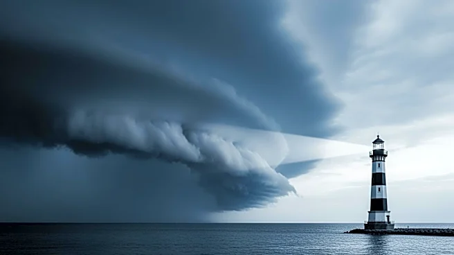
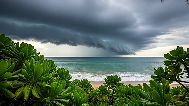
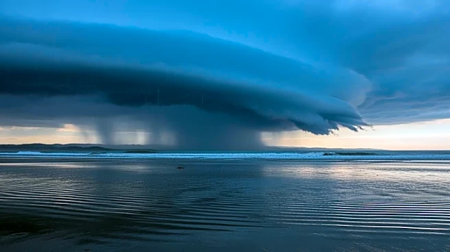
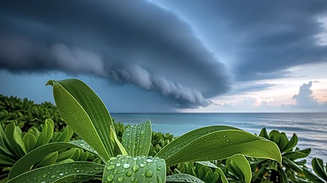
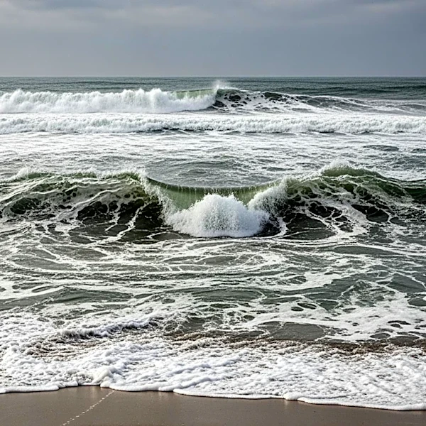
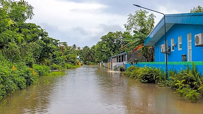
Hawaii is on high alert as a powerful storm is expected to bring significant rainfall, with forecasts predicting up to a month's worth of rain in just two days. The National Weather Service has issued a flood watch for the entire state, effective from
Wednesday morning through Friday afternoon. The heaviest rainfall is anticipated on Thursday night, posing a risk to areas like Oahu, which recently suffered from severe flooding in March. These previous storms resulted in extensive damage, necessitating numerous rescues and causing widespread destruction across Oahu. The current weather system threatens to exacerbate the situation, with potential flash flooding, road closures, and property damage.
Why It's Important?
The impending storm poses a significant threat to Hawaii's infrastructure and residents, particularly in areas still recovering from recent flooding. The potential for flash floods and landslides could lead to further displacement of residents and additional strain on emergency services. The economic impact could be substantial, with potential damage to homes, businesses, and public infrastructure. This situation underscores the vulnerability of island communities to extreme weather events, which are becoming more frequent and severe due to climate change. The state's preparedness and response will be critical in mitigating the impact of this storm.
What's Next?
As the storm approaches, state and local officials are urging residents to stay informed and take necessary precautions. Honolulu Mayor Rick Blangiardi has emphasized the importance of community vigilance and preparedness. The state is also awaiting federal assistance to aid in recovery efforts from the March storms. The outcome of this storm could influence future policy decisions regarding infrastructure resilience and emergency management in Hawaii. Continued monitoring and timely communication from weather services will be essential in managing the situation effectively.