






What's Happening?
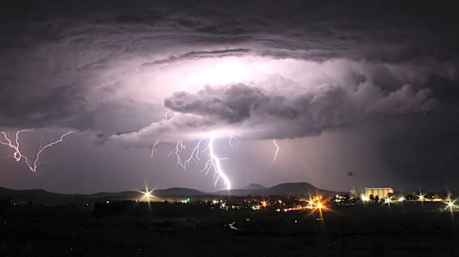
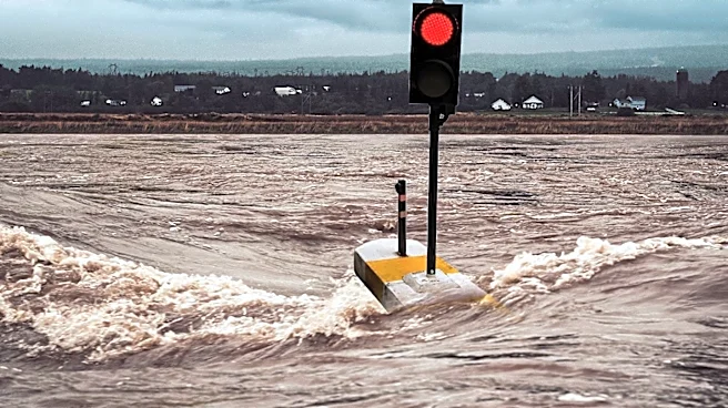
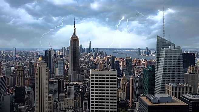
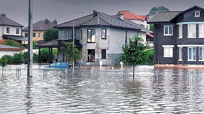
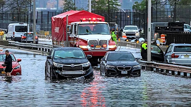
The northeastern United States is experiencing severe weather conditions, with flash flood warnings issued due to torrential rains and thunderstorms. The National Weather Service has placed much of the tri-state area under a level 3 out of 5 risk for
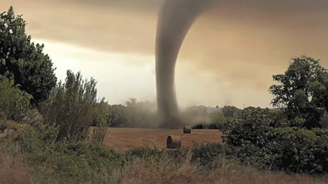
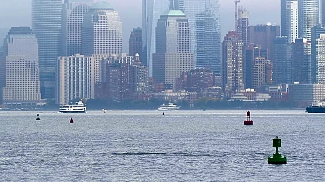
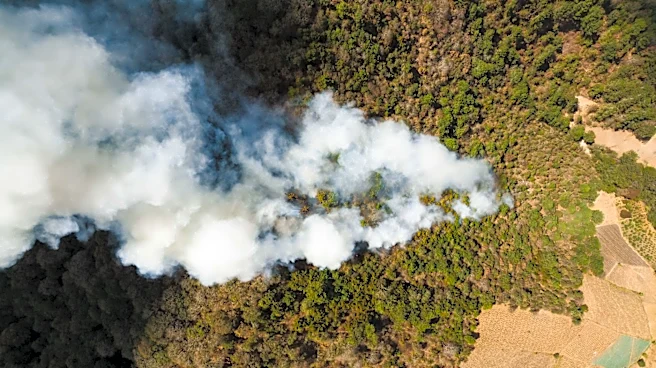
severe storms, indicating a high likelihood of numerous severe weather events. Areas such as Jamaica, Crown Heights, and Brooklyn Heights have already seen significant rainfall, with over 2.5 inches reported in some locations. The storms are accompanied by damaging wind gusts and the potential for isolated tornadoes. This weather event follows a period of poor air quality caused by smoke from Canadian wildfires, which has returned to New York City, pushing air quality back to unhealthy levels.
Why It's Important?
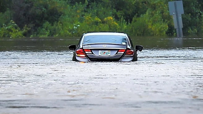
The severe weather poses significant risks to infrastructure and public safety in the affected areas. Flash floods can lead to property damage, disrupt transportation, and pose life-threatening conditions for residents. The combination of wildfire smoke and severe storms highlights the complex challenges posed by climate-related events, affecting air quality and increasing the frequency of extreme weather. Emergency services are on high alert, and residents are advised to stay informed and take necessary precautions. The situation underscores the need for robust emergency preparedness and response strategies to mitigate the impact of such events.
What's Next?
As the storms continue to move through the region, residents should remain vigilant and heed warnings from local authorities. The National Weather Service will continue to monitor the situation and provide updates as conditions evolve. Efforts to clear the smoke and improve air quality are expected as the weather system progresses. In the aftermath, communities will need to assess damage and begin recovery efforts, which may include infrastructure repairs and support for affected residents.