



What's Happening?
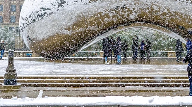
The Chicago area is preparing for a significant weather shift this week, with the possibility of the season's first snowflakes. The week will begin with mild and dry conditions, featuring temperatures in the upper 50s and low 60s on Monday and Tuesday.
However, a storm system is expected to move in by Wednesday, bringing widespread rain and potential thunderstorms. As temperatures continue to fall, lake-effect rain showers will persist through Thursday morning and afternoon, with readings dropping into the 40s. By Thursday night and into Friday morning, some of these showers could mix with snow, particularly in northwest Indiana, with the band potentially extending into Illinois as temperatures slide further. NBC 5 Storm Team meteorologist Iisha Scott indicated that while accumulating snow is not expected due to previously mild conditions, residents could see the first snowflakes.
Why It's Important?
The impending weather change marks a significant transition for the Chicago area, signaling the onset of colder temperatures and the winter season. While the forecast does not predict heavy snowfall, the appearance of the first snowflakes can impact daily routines, transportation, and public sentiment. For local businesses, particularly those in retail and hospitality, this shift can influence consumer behavior, potentially boosting sales of winter-related goods or affecting outdoor activities. The mention of lake-effect snow highlights a specific meteorological phenomenon common to the Great Lakes region, which can lead to localized and sometimes intense snowfall, even when broader conditions are not conducive to widespread accumulation. This early indication of winter weather also prompts residents to prepare for colder conditions, including vehicle maintenance and appropriate attire, affecting public safety and preparedness.
What's Next?
Following the potential for early snowflakes on Thursday night and Friday morning, the Chicago area is expected to remain cold through Saturday, with temperatures in the 40s. However, a rebound is anticipated by Sunday and Monday, with temperatures projected to rise back into the 50s and low 60s. Residents should monitor local weather forecasts for updates, especially concerning any shifts in the snow band or potential for accumulation, even if currently deemed unlikely. Transportation authorities will likely be on alert for any impacts on road conditions, particularly in areas prone to lake-effect precipitation. The fluctuating temperatures suggest a dynamic weather pattern that could continue to bring varied conditions in the coming weeks, requiring ongoing vigilance from both residents and local services.
Beyond the Headlines
The arrival of the first snowflakes, even if non-accumulating, often carries a psychological weight, marking the unofficial start of winter and influencing mood and daily planning. This annual transition can affect local energy consumption patterns as heating demands increase, potentially impacting utility services and costs. Environmentally, the shift to colder, wetter conditions is a natural part of the seasonal cycle, but the specific dynamics of lake-effect precipitation underscore the unique geographical influences on regional weather. The forecast also serves as a reminder of the importance of accurate and timely meteorological reporting, as communities rely on these predictions for safety and preparedness. The brief return to milder temperatures after the cold snap highlights the variability of autumn weather in the Midwest, often characterized by significant temperature swings before the sustained cold of winter sets in.