


What's Happening?
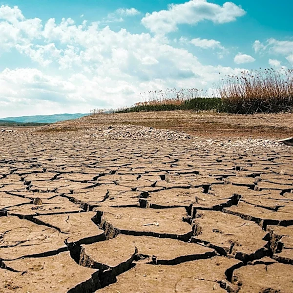
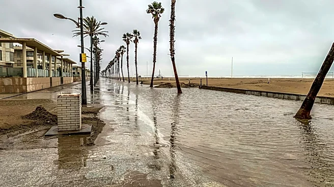
The southern and eastern United States are bracing for a pattern of heavy downpours and potential flooding through the end of May. This weather shift, influenced by a developing El Niño in the Pacific Ocean, is expected to bring significant rainfall to drought-stricken
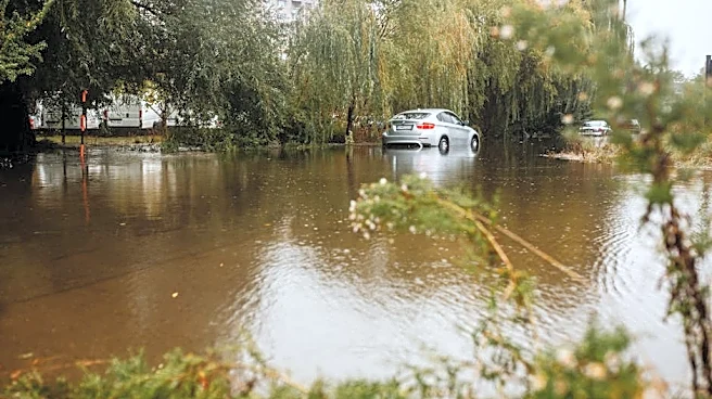
areas, affecting millions of people from Texas to New York. The National Oceanic and Atmospheric Administration (NOAA) has issued flood watches for parts of southeastern Texas and the Ohio Valley, warning of excessive rainfall that could lead to flash flooding. The most affected areas are expected to receive 1 to 3 inches of rain, with some regions potentially experiencing up to half a foot of rainfall.
Why It's Important?
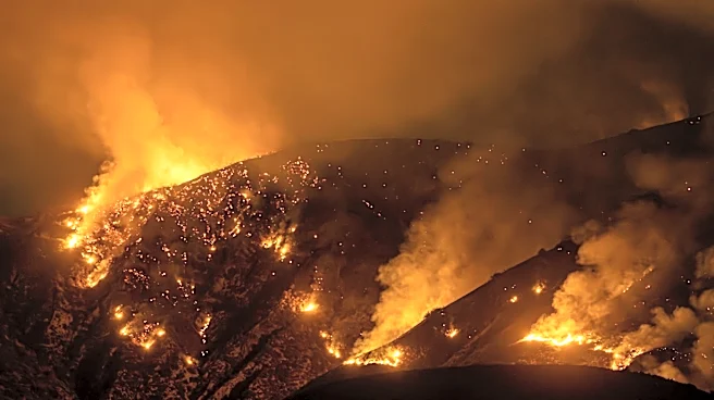
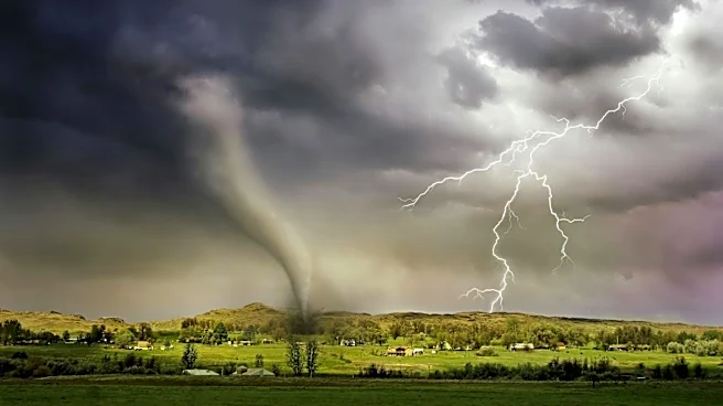
The anticipated heavy rainfall could alleviate drought conditions in some areas, benefiting farmers and growers. However, the risk of flash flooding poses a significant threat to communities, infrastructure, and local economies. The weather pattern highlights the impact of climate phenomena like El Niño on regional weather systems, underscoring the need for preparedness and adaptive measures. The potential for flooding could disrupt travel and outdoor activities during the long weekend, affecting millions of residents and visitors. The situation emphasizes the importance of monitoring and responding to extreme weather events, particularly in vulnerable regions.
What's Next?
As the weather system progresses, authorities and residents in the affected areas will need to remain vigilant and prepared for potential flooding. Emergency services may be mobilized to respond to any incidents, and residents are advised to stay informed about weather updates and advisories. The long-term impact of the rainfall on drought conditions will be monitored, with NOAA's seasonal drought outlook indicating potential improvements in some regions. The situation serves as a reminder of the importance of climate resilience and the need for effective disaster response strategies.