
What's Happening?
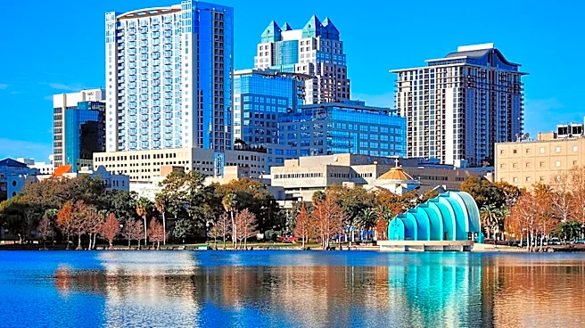
Orlando, Florida, is experiencing a significant shift in its weather pattern as a cold front moves through Central Florida. This front is bringing a push of drier, less humid air, leading to sunny skies
and cooler overnight temperatures. While there were a few quick-moving sprinkles as the front passed, rain chances are now near zero for the remainder of the weekend and are expected to stay at 10% or less through Sunday. Afternoon highs will be in the upper 70s to around 80 degrees, a noticeable drop from earlier in the week. Overnight lows are projected to fall into the mid-to-upper 50s in northwest zones (Marion, Lake, and Sumter counties) and the lower 60s for the Orlando metro area, with coastal communities seeing mid-60s. This refreshing, comfortable weather is anticipated to continue into the beginning of the upcoming workweek.
Why It's Important?
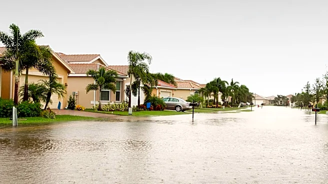
This change in weather is significant for Orlando residents and visitors, offering a welcome respite from the typical Florida humidity. The drier conditions are particularly beneficial for ongoing flood recovery efforts, especially along the St. Johns River, where River Flood Warnings remain in effect due to previously high water levels. The cooler temperatures create more favorable conditions for outdoor activities and events, potentially boosting local tourism and recreational businesses. For agriculture, the shift to drier air can impact irrigation needs, while cooler nights might affect certain crops. The overall improvement in air quality and comfort can also have positive effects on public health and well-being, making daily life more pleasant for the region's population.
What's Next?
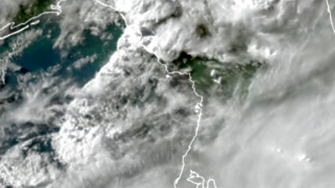
The comfortable weather pattern is expected to persist for the next few days. However, the weather pattern is forecast to become more active again by the middle of next week. Rain chances will increase to 30–40% from Wednesday into Thursday as an upper-level disturbance and a stronger cold front approach from the Gulf. This setup is expected to bring scattered showers and potentially a few embedded thunderstorms. A more potent push of Canadian air is anticipated to follow this front, setting the stage for what could be the coldest air of the season so far by next weekend. In the Atlantic basin, tropical activity is quieting down, with development chances for a disturbance northeast of the Bahamas dropping to 10% over the next seven days, posing no threat to Florida or the U.S. coastline.
Beyond the Headlines
The arrival of cooler, drier air marks a seasonal transition that many Floridians eagerly await, often associated with the start of the 'snowbird' season and increased outdoor festivals. This weather shift can influence local energy consumption patterns, with reduced demand for air conditioning. The extended period of comfortable weather could also positively impact local businesses that rely on outdoor activities, such as theme parks, golf courses, and outdoor dining establishments. The mention of flood recovery efforts highlights the ongoing challenges faced by communities impacted by recent heavy rains, and the drier conditions offer a crucial window for progress. The forecast for even colder air next week suggests a more pronounced autumn and early winter season for Central Florida, potentially impacting local flora and fauna accustomed to warmer climates.