


What's Happening?
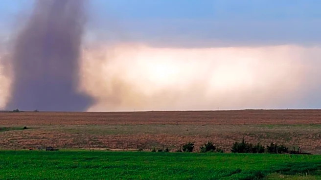
The National Weather Service has confirmed that a tornado touched down last week in Mobile County, Alabama. The tornado has been designated as an "EFU" tornado, a classification within the Enhanced Fujita Scale where the 'U' stands for 'unknown.' This
designation is used because the area affected by the tornado was inaccessible to ground survey teams, preventing a full assessment of its intensity and characteristics. Radar and social media video indicated the tornado occurred in the Mobile River Delta on August 20, west of Hurricane and south of the railroad tracks. The preliminary report estimates the tornado's path was 3.08 miles long, touching down at 3:52 p.m. and lifting at approximately 4:04 p.m. No injuries have been reported.
Why It's Important?
The confirmation of an 'EFU' tornado highlights the challenges faced by meteorologists and emergency responders in assessing natural disasters in remote or inaccessible areas. While no injuries were reported in this instance, the inability to conduct a ground survey means that the full extent of potential damage and the tornado's true strength remain unquantified. This situation underscores the reliance on technology like radar and social media for initial assessments, but also points to limitations when direct observation is impossible. For communities in tornado-prone regions, understanding the precise characteristics of such events is crucial for refining building codes, emergency preparedness plans, and public safety advisories. The 'EFU' classification serves as a reminder that even with advanced meteorological tools, some aspects of severe weather events can remain elusive.
What's Next?
The National Weather Service has indicated that the 'EFU' rating is preliminary and will be updated once high-resolution satellite imagery becomes available. This imagery is expected to provide more detailed information, allowing for likely refinements in the tornado's overall track, width, and intensity. The updated report will offer a more complete picture of the event, which could influence future local emergency planning and risk assessments for the Mobile River Delta area. Residents in the region will likely be advised to remain vigilant and prepared for severe weather, as the full impact of such inaccessible events can sometimes be underestimated in initial reports.
Beyond the Headlines
The use of the 'EFU' designation for an inaccessible tornado raises broader questions about the comprehensive mapping and understanding of weather phenomena, particularly in areas that are difficult to reach. This situation could spur advancements in remote sensing technologies and drone-based surveys to improve post-disaster assessment capabilities. Furthermore, it highlights the potential for unrecorded or underestimated impacts in similar inaccessible regions across the U.S., which could have long-term implications for ecological systems, infrastructure development, and even insurance assessments in those areas. The incident also subtly emphasizes the ongoing interplay between human activity and natural environments, as even remote areas can experience significant weather events that challenge conventional assessment methods.