


What's Happening?
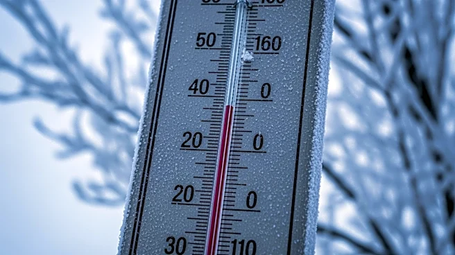
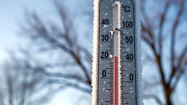
A strong cold front has moved through North Texas, causing a significant drop in temperatures across the region. According to reports, conditions are now approximately 30 degrees colder than the previous day, accompanied by lingering drizzle, mist, and
breezy winds. The cold front is expected to bring overnight wind chills near freezing in certain areas. Despite the current cold snap, temperatures are forecasted to rebound into the 70s from Sunday through midweek, with a more noticeable warm-up anticipated later in the week.
Why It's Important?
The sudden drop in temperatures due to the cold front has implications for residents and local businesses in North Texas. Such weather changes can affect daily activities, energy consumption, and heating needs, potentially leading to increased utility costs. Additionally, the near-freezing wind chills may pose challenges for outdoor workers and those without adequate heating. The forecasted rebound in temperatures will provide relief, but the initial cold snap highlights the importance of preparedness for sudden weather shifts.
What's Next?
As temperatures are expected to rise into the 70s by midweek, residents can anticipate a return to more typical spring weather conditions. However, the initial cold front serves as a reminder of the unpredictable nature of weather patterns in the region. Local authorities and weather services will continue to monitor conditions and provide updates to ensure public safety and preparedness for any further changes.