



What's Happening?
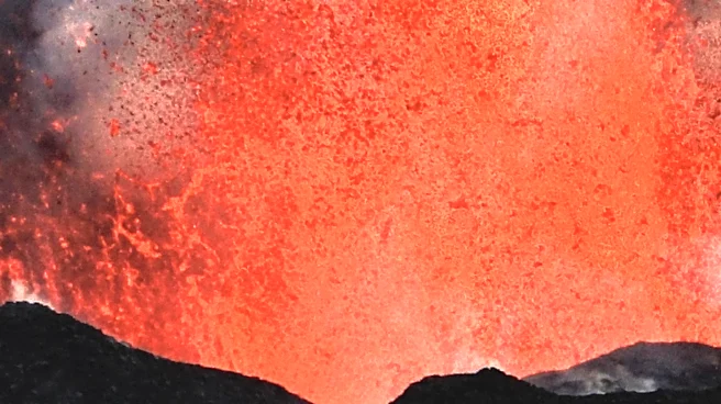
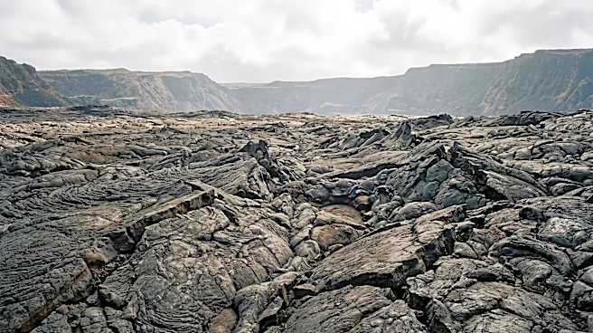
Researchers have utilized satellite-based synthetic aperture radar (SAR) to effectively monitor volcanic activity at Hawaii's Kilauea volcano, specifically focusing on lava flows and crater changes at Puʻuʻōʻō. This technology, which measures backscatter—the
radar signal bouncing off the ground—provides insights into ground surface roughness and slope changes. While interferometric SAR is commonly used for surface deformation, the study explored the less-utilized backscatter measurements. By analyzing 167 ascending and 105 descending COSMO-SkyMed satellite images from August 2010 to December 2013, researchers found that SAR measurements accurately reflected observed events. Radar shadow measurements captured changes in crater floor height, including major collapse and inflation, while backscatter data helped delineate lava lake perimeters and identify internal structures and vents. This method offers a valuable tool for monitoring effusive eruptions, especially in conditions where direct observation is challenging due to thick plumes, cloud cover, or accessibility issues.
Why It's Important?
The application of SAR backscatter technology for monitoring Kilauea volcano is significant for several reasons. It provides a crucial complementary data set for volcanologists, enabling them to track effusive eruptions more comprehensively, particularly when traditional monitoring methods are hindered. This enhanced monitoring capability can lead to improved hazard assessments and early warning systems for communities near active volcanoes. For U.S. territories like Hawaii, where volcanic activity is a constant concern, better understanding and prediction of lava flow paths and crater dynamics can help protect infrastructure, mitigate economic disruption, and ensure public safety. The ability to interpret SAR backscatter data more effectively also opens avenues for its broader application in other geologically active regions globally, potentially reducing risks associated with volcanic eruptions and contributing to a more robust understanding of Earth's dynamic processes.
What's Next?
The research suggests that SAR backscatter can provide a valuable complementary data set for monitoring effusive eruptions, especially in situations where other technologies might be limited or direct observations are difficult. Future efforts will likely focus on refining the interpretation of SAR backscatter data to overcome current limitations such as satellite resolution, noise levels, and natural surface changes. Further studies could explore integrating SAR backscatter with other remote sensing techniques and ground-based measurements to create more comprehensive and accurate volcanic monitoring systems. This could lead to the development of advanced algorithms and models that can more precisely predict lava flow behavior and crater evolution, ultimately enhancing preparedness and response strategies for volcanic hazards in the U.S. and beyond.
Beyond the Headlines
The successful application of SAR backscatter at Kilauea highlights a broader trend in scientific monitoring: the increasing reliance on sophisticated satellite technology to observe and understand natural phenomena that are otherwise inaccessible or dangerous to study directly. This development has implications for various fields beyond volcanology, including glaciology, landslide monitoring, and even urban development, where subtle surface changes can indicate underlying geological or structural issues. The challenge of interpreting complex data, as noted with SAR backscatter, underscores the ongoing need for interdisciplinary research combining remote sensing expertise with geological and geophysical knowledge. This integration is crucial for translating raw satellite data into actionable insights, fostering a more proactive approach to natural disaster management and environmental stewardship.