


What's Happening?
The Sudbury, Assabet, and Concord Rivers (SuAsCo) Climate Collaborative is actively engaging community members to contribute to a comprehensive Climate Vulnerability Assessment Map. This initiative aims to gather local observations and insights that may
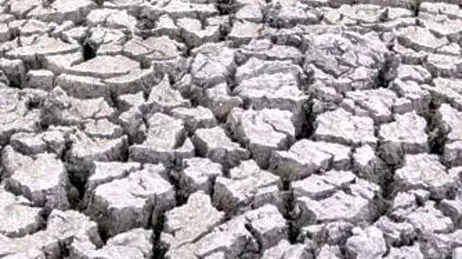
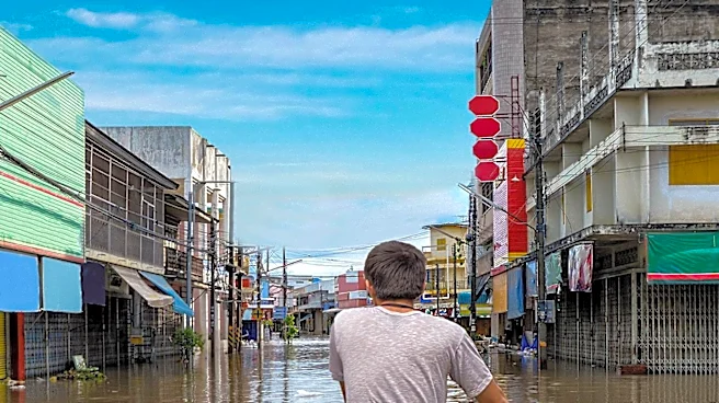
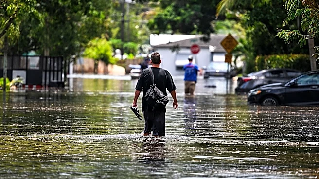
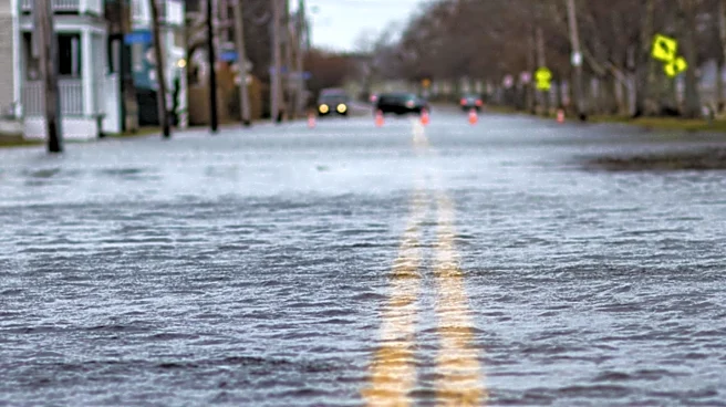
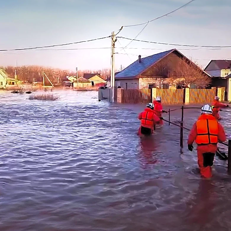
not be captured in existing data sets, providing a more accurate picture of climate-related impacts within the watershed. Residents are encouraged to add points to the map, identifying areas already experiencing flooding, extreme heat, drought, or severe storms. Additionally, the collaborative seeks information on important natural, built, or community resources that require consideration, as well as locations where access, infrastructure, or community services are crucial during extreme weather events. The goal is to collect ideas for projects and improvements that can enhance the watershed's and its communities' resilience.
Why It's Important?
This community-driven approach is vital for developing effective local climate adaptation strategies. By incorporating firsthand accounts and local knowledge, the SuAsCo Climate Collaborative can pinpoint specific vulnerabilities and prioritize interventions that directly address the needs of the community. Traditional data often lacks the granularity to capture localized impacts, such as specific neighborhoods prone to flooding or critical infrastructure at risk. The input from residents will help identify areas where vulnerable populations might be disproportionately affected, ensuring that resilience efforts are equitable and inclusive. This collaborative mapping process fosters a sense of shared responsibility and empowers residents to actively participate in shaping their community's climate future, leading to more robust and community-supported solutions.
What's Next?
The SuAsCo Climate Collaborative will continue to collect community observations and data for the Climate Vulnerability Assessment Map. Once sufficient data is gathered, the collaborative will analyze the information to identify key areas of concern and potential solutions. This assessment will then inform the development of specific projects and improvements aimed at increasing the watershed's resilience to climate change. The insights gained from this map will likely guide local planning, resource allocation, and policy decisions related to climate adaptation. The collaborative may also use this information to seek funding for resilience projects and to engage with local government agencies and other stakeholders to implement the identified strategies. The ongoing nature of climate change suggests that this mapping and assessment process may be periodically updated to reflect new data and evolving conditions.
Beyond the Headlines
The SuAsCo Climate Collaborative's initiative exemplifies a growing trend towards localized, participatory approaches to climate change adaptation. This model recognizes that effective climate action requires not only scientific data but also the lived experiences and knowledge of those directly affected. By empowering communities to identify their own vulnerabilities and propose solutions, such initiatives can build stronger social cohesion and trust between residents and local authorities. This approach can also serve as a blueprint for other regions facing similar climate challenges, demonstrating how grassroots engagement can complement top-down strategies. Ultimately, the success of such efforts hinges on sustained community involvement and the political will to translate collected data into tangible, impactful resilience measures.