




What's Happening?
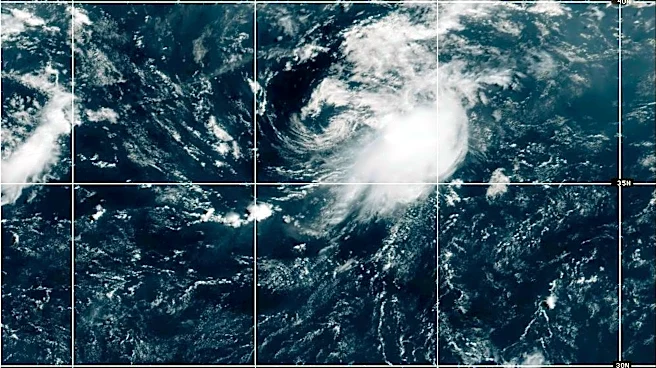
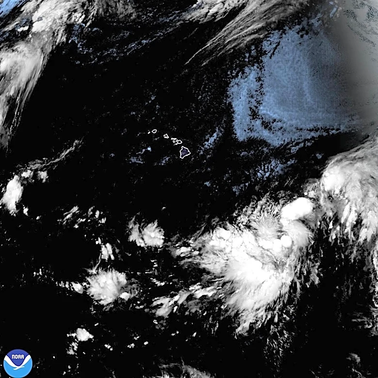
A developing weather disturbance is forecast to strengthen as it approaches Hawaii, with the potential to become a tropical storm by Thursday night. Currently located about 775 miles east-southeast of Hilo, the system is not yet classified as a tropical cyclone
due to its disorganized structure. The National Hurricane Center has issued advisories indicating that the storm could bring heavy rainfall, high winds, and dangerous surf to Hawaii starting late Friday. The storm, referred to as 'Potential Tropical Cyclone One-C,' has sustained winds of 40 mph. Residents are advised to prepare for possible impacts, including life-threatening flooding and mudslides, particularly in areas of steep terrain.
Why It's Important?
The approaching storm poses significant risks to the Hawaiian Islands, with potential impacts on public safety and infrastructure. The forecasted heavy rainfall and high winds could lead to flooding, mudslides, and property damage, affecting residents and businesses. The tourism industry, a major economic driver in Hawaii, may also experience disruptions due to adverse weather conditions. Additionally, the storm's impact on transportation and emergency services could strain local resources. Preparing for such events is crucial to mitigate potential damage and ensure the safety of the population.
What's Next?
A tropical storm watch is likely to be issued for parts of Hawaii by early Thursday. Residents are encouraged to monitor weather updates and ensure their emergency preparedness plans are in place. The storm is expected to move west-northwestward, with its center nearing the Hawaiian Islands by late Friday. As the system approaches, conditions may become less favorable for intensification due to environmental factors such as wind shear and dry air. However, the exact track and intensity of the storm remain uncertain, necessitating close monitoring by meteorologists and local authorities.