








What's Happening?
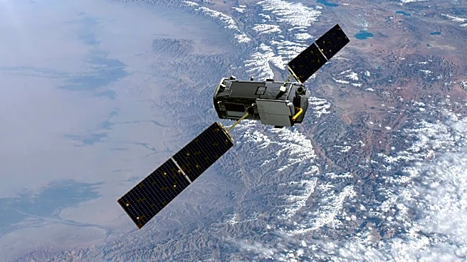
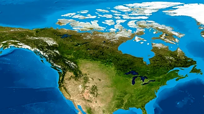
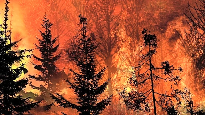
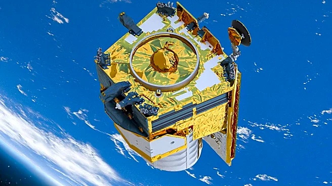
In early July 2026, several wildland fires erupted in the Sahtu Region of Canada's Northwest Territories, near Great Bear Lake. The fires have been significant enough to produce dense smoke plumes, which have been captured by the Visible Infrared Imaging
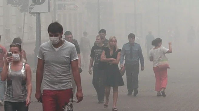
Radiometer Suite (VIIRS) on the NOAA-21 platform. As of July 10, the Environment and Climate Change division of the territorial government was monitoring 64 active fires that have collectively burned nearly 169,000 hectares. The VIIRS data indicates that the aerosol optical depth (AOD) in the region has reached levels greater than 3.0, suggesting that the smoke is dense enough to obscure the sun. This level of aerosol concentration can pose health risks, particularly for individuals with respiratory conditions.
Why It's Important?
The wildland fires near Great Bear Lake highlight the ongoing challenges posed by climate-related events, which can have significant environmental and health impacts. The dense smoke from these fires not only affects air quality but also has broader implications for climate change, as aerosols can influence weather patterns and contribute to atmospheric warming. The situation underscores the need for effective fire management strategies and policies to mitigate the impact of such events. Additionally, the data collected by VIIRS and other satellite technologies is crucial for monitoring and responding to these environmental challenges, providing valuable information for both local authorities and the global scientific community.