


What is the story about?
What's Happening?
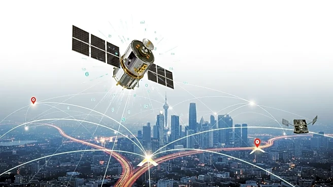
Researchers at the Norwegian University of Science and Technology (NTNU) have developed a new system called SmartNav to improve GPS accuracy in urban environments, where traditional satellite navigation often fails. The system addresses the issue of GPS signals being disrupted by tall buildings and reflective surfaces, known as 'urban canyons.' These disruptions cause inaccuracies in positioning, which are particularly problematic for autonomous vehicles. SmartNav combines various technologies to correct GPS signals, allowing for precise navigation even in dense city areas. The system integrates a computer program into the navigation systems of autonomous vehicles, enhancing their ability to navigate safely and reliably.
Why It's Important?
The development of SmartNav is significant as it addresses a critical challenge in urban navigation, particularly for autonomous vehicles. Accurate GPS positioning is essential for the safe operation of self-driving cars, which rely on precise location data to make real-time decisions. By improving GPS accuracy, SmartNav enhances the reliability and safety of autonomous vehicles, potentially accelerating their adoption in urban areas. This advancement could lead to increased efficiency in transportation, reduced traffic congestion, and lower emissions, benefiting both the automotive industry and urban infrastructure. Additionally, the technology could be applied to other sectors requiring precise location data, such as logistics and emergency services.
What's Next?
The researchers plan to further refine SmartNav and explore its integration with existing navigation systems. They aim to make the technology accessible to the general public by leveraging affordable services like PPP-RTK (Precise Point Positioning - Real-Time Kinematic), which provides precise corrections to satellite signals. This approach reduces the need for expensive local base stations, enabling widespread implementation on mass-market GPS receivers. As the technology evolves, it may attract interest from major stakeholders in the automotive and tech industries, potentially leading to collaborations and commercial applications. The success of SmartNav could also prompt further research into enhancing GPS accuracy in other challenging environments.
Beyond the Headlines
The development of SmartNav highlights the growing importance of precision in navigation technologies, especially as urban areas become more densely populated and complex. It underscores the need for innovative solutions to overcome the limitations of traditional GPS systems, which were not designed for the unique challenges posed by urban environments. The collaboration between academia and industry, exemplified by NTNU's partnership with Google, demonstrates the potential for cross-sector innovation to address real-world problems. As navigation technologies continue to advance, ethical considerations regarding data privacy and security will become increasingly relevant, necessitating careful regulation and oversight.