


What's Happening?
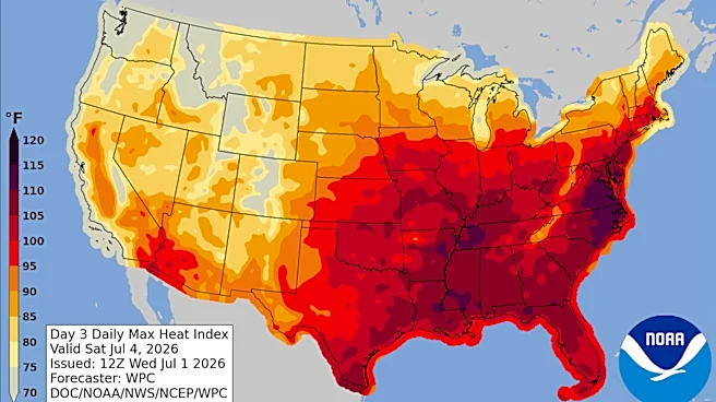
North Texas is experiencing a continuation of high temperatures following the hottest day of the year, which reached 99°F on the 4th of July. The region is expected to maintain temperatures in the upper 90s to near triple digits, with humidity making
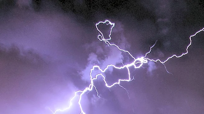
it feel even warmer. Meteorologists are forecasting scattered showers and potential storms, particularly in the northwestern parts of North Texas. These weather patterns are expected to develop as the day progresses, with the best chances for storms occurring north of I-20 and west of I-35. Residents are advised to monitor weather updates closely, especially if they have outdoor plans, as storms could bring lightning and strong gusty winds.
Why It's Important?
The weather conditions in North Texas are significant due to their potential impact on daily life and safety. High temperatures combined with humidity can lead to heat-related illnesses, making it crucial for residents to stay hydrated and take precautions. The possibility of storms adds another layer of concern, as they can disrupt outdoor activities and pose risks such as lightning strikes and wind damage. These weather patterns also affect local businesses, particularly those reliant on outdoor operations, and can influence energy consumption as residents seek to cool their homes. Understanding and preparing for these conditions is essential for minimizing risks and ensuring public safety.
What's Next?
As the week progresses, North Texas is expected to continue experiencing hot and humid conditions, with temperatures slightly above average. The potential for isolated showers remains, particularly south of I-20, as the new workweek begins. Residents should stay informed about weather developments and be prepared to adjust plans accordingly. Local authorities and meteorologists will likely continue to provide updates and advisories to help the public navigate these challenging weather conditions safely.