


What's Happening?
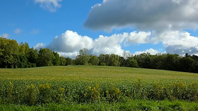
Northeast Ohio is preparing for a dramatic change in weather conditions later this week, transitioning from unseasonably warm temperatures to cold, rain, and the possibility of the first snowflakes of the season. Tuesday is expected to be sunny with highs
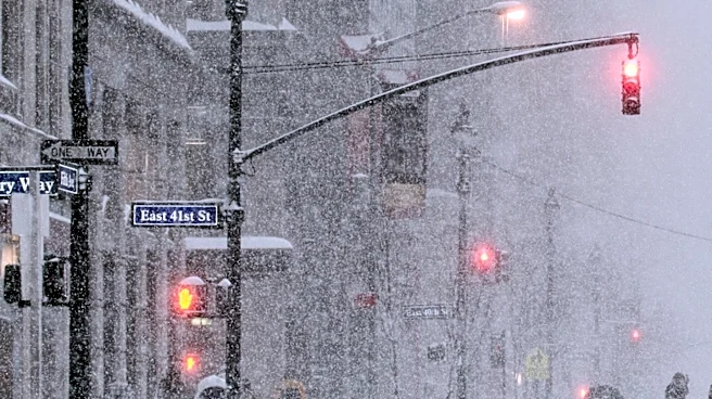
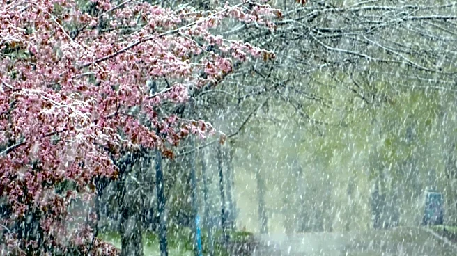
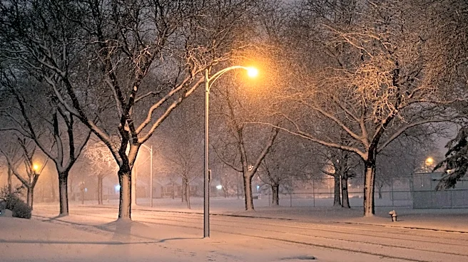
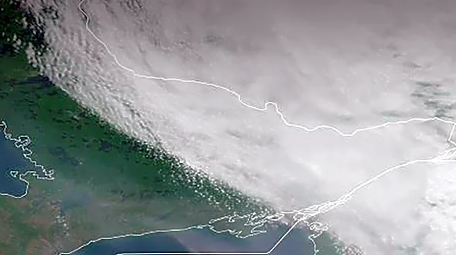
around 61°F, offering a final opportunity for outdoor activities before the shift. Wednesday will see increased cloud cover and cooler temperatures in the mid-50s, with a slight chance of isolated showers overnight. By Thursday, scattered rain is forecast, with temperatures dropping to around 47°F, and Lake Erie is expected to enhance the intensity of some showers. Friday will bring even colder conditions, with highs struggling to reach 40°F, and lake effect showers may mix with wet snowflakes. While significant road impacts are not anticipated, residents may observe the season's first snowfall. The chilly weather is expected to persist through the weekend, with lake effect rain or wet snow showers on Saturday and slightly more sunshine on Sunday, with highs in the mid-40s.
Why It's Important?
This significant weather pattern change is important for residents and local services across Northeast Ohio. The shift from mild to cold and wet conditions impacts daily routines, outdoor plans, and transportation. The potential for the first snowflakes, even if not accumulating, signals the onset of winter weather, prompting residents to prepare for colder temperatures and potential hazards. Local businesses involved in outdoor services, such as landscaping or construction, may experience disruptions. Additionally, the forecast for chilly, wet weather during weekend events, such as the Browns game, will influence attendance and preparation for those attending. The change also highlights the variability of late autumn weather in the region, requiring adaptability from the community and local infrastructure to manage the transition effectively.
What's Next?
Residents in Northeast Ohio should prepare for colder temperatures and increased precipitation, including the possibility of wet snow, starting Thursday and continuing through the weekend. This involves adjusting clothing choices, preparing vehicles for colder, wetter conditions, and monitoring local forecasts for any updates or advisories. Those with outdoor plans, including Veterans Day events on Wednesday and weekend activities, should account for cooler temperatures and potential rain or snow. Local authorities and road crews will likely monitor conditions, especially if any accumulation of snow occurs, though significant road impacts are not currently expected. The forecast suggests a sustained period of chilly, unsettled weather, indicating that the mild autumn conditions are concluding for the season.
Beyond the Headlines
The impending weather shift in Northeast Ohio underscores broader themes of seasonal transitions and climate variability. While a single weather event doesn't define long-term climate trends, the rapid change from unseasonably warm to cold and potentially snowy conditions highlights the dynamic nature of weather patterns in the Great Lakes region. This variability can influence local ecosystems, energy consumption patterns as heating demands increase, and even public health, with colder temperatures potentially impacting vulnerable populations. The anticipation of the first snowflakes often carries cultural significance, marking the unofficial start of the winter season and influencing community activities and preparations for the months ahead. It also serves as a reminder of the importance of reliable local weather forecasting for public safety and daily planning.