






What's Happening?
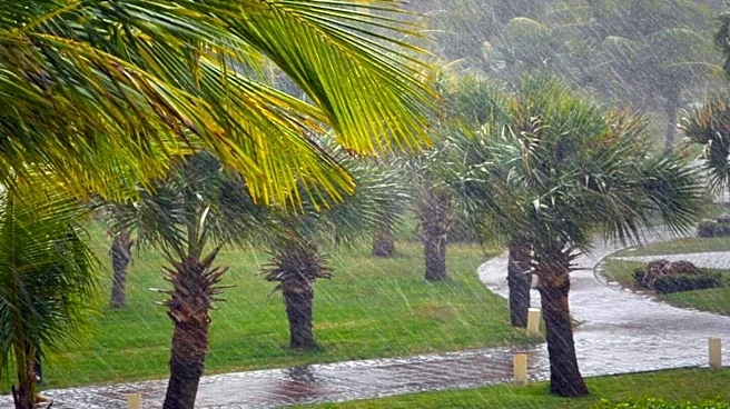
NBC 6 South Florida has issued a First Alert Weather forecast predicting wet and windy conditions from tonight through Thursday, November 19, 2026. Showers and storms are expected to occur at any time during this period, with the most widespread rain
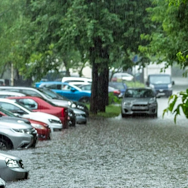
anticipated on Wednesday. Thursday is also forecasted to be a wet day, though potentially less intense than Wednesday. A Flood Watch is in effect for Miami-Dade and Broward counties until 7 p.m. Thursday, with general rainfall totals projected to be between 2-4 inches, and localized areas potentially receiving up to 8 inches, with a bull's-eye of up to 10 inches. Easterly wind gusts of 30 mph are also expected, along with Rip Current warnings for Dade/Broward and a High Surf Advisory for Broward, where breakers could reach up to 12 feet. A Small Craft Advisory for boaters will also be in effect through Thursday.
Why It's Important?
This severe weather forecast is critical for residents and businesses in South Florida, particularly Miami-Dade and Broward counties. The potential for significant rainfall, up to 10 inches in some areas, poses a high risk of widespread flooding, which can disrupt daily life, damage property, and impact local infrastructure. The strong easterly winds and high surf conditions create hazardous situations for coastal communities and marine activities, affecting shipping, fishing, and recreational boating. Such weather events can lead to economic losses from business closures, agricultural damage, and increased emergency response costs. The advisories issued by NBC 6 serve as a vital public safety measure, enabling residents to prepare and mitigate potential risks, thereby minimizing casualties and property damage.
What's Next?
Residents in Miami-Dade and Broward counties should remain vigilant and follow weather updates from NBC 6 South Florida. Preparations for potential flooding, such as securing outdoor items and avoiding flooded roads, are advised. Boaters and those near coastal areas should heed the Small Craft Advisory and High Surf Advisory. Emergency services will likely be on standby to respond to any incidents related to the severe weather. The conditions are expected to improve by the weekend, but the immediate focus is on managing the impacts of the heavy rain and strong winds over the next few days. Post-storm, assessments of damage and recovery efforts will likely commence.
Beyond the Headlines
The recurring nature of severe weather events in South Florida, as highlighted by this forecast, underscores the broader challenges posed by climate change and its impact on coastal regions. The increased frequency and intensity of rainfall, coupled with strong winds and high surf, can exacerbate issues like sea-level rise and coastal erosion, leading to long-term environmental and economic consequences. This situation also emphasizes the importance of robust urban planning, resilient infrastructure development, and effective public communication strategies to protect vulnerable populations and assets. The continuous need for such alerts reflects a growing adaptation challenge for communities in hurricane-prone and low-lying areas of the U.S.