






What's Happening?
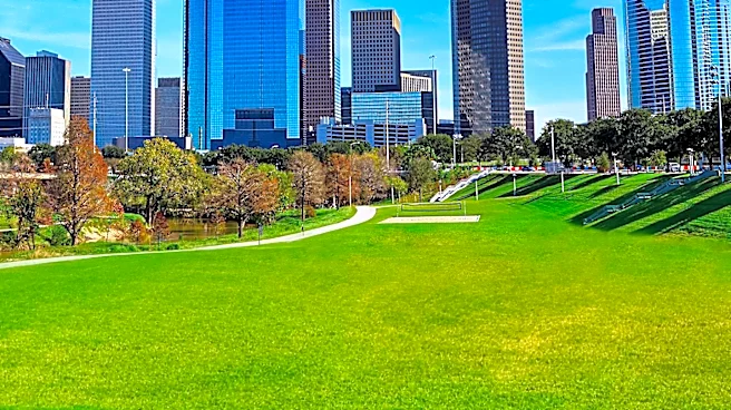
Houston is set to experience a warm and breezy Tuesday with temperatures in the low to mid-90s. Southeast winds are expected to range from 10 to 20 mph, with potential for higher gusts. While a few isolated showers or storms might occur, widespread rain

is not anticipated for Tuesday. However, the weather pattern is expected to shift significantly by Wednesday. Scattered showers and thunderstorms are forecast to become more likely as deeper Gulf moisture moves into the region, coupled with the approach of a slow-moving disturbance. This change will lead to elevated rain chances throughout the remainder of the week. The greatest risk of flooding across Texas will be concentrated in the Hill Country and along the I-35 corridor, stretching from San Antonio and Austin towards Dallas. Multiple rounds of heavy rainfall could trigger flash flooding in these areas, with additional impacts possible in North Texas and the Houston metropolitan area.
Why It's Important?
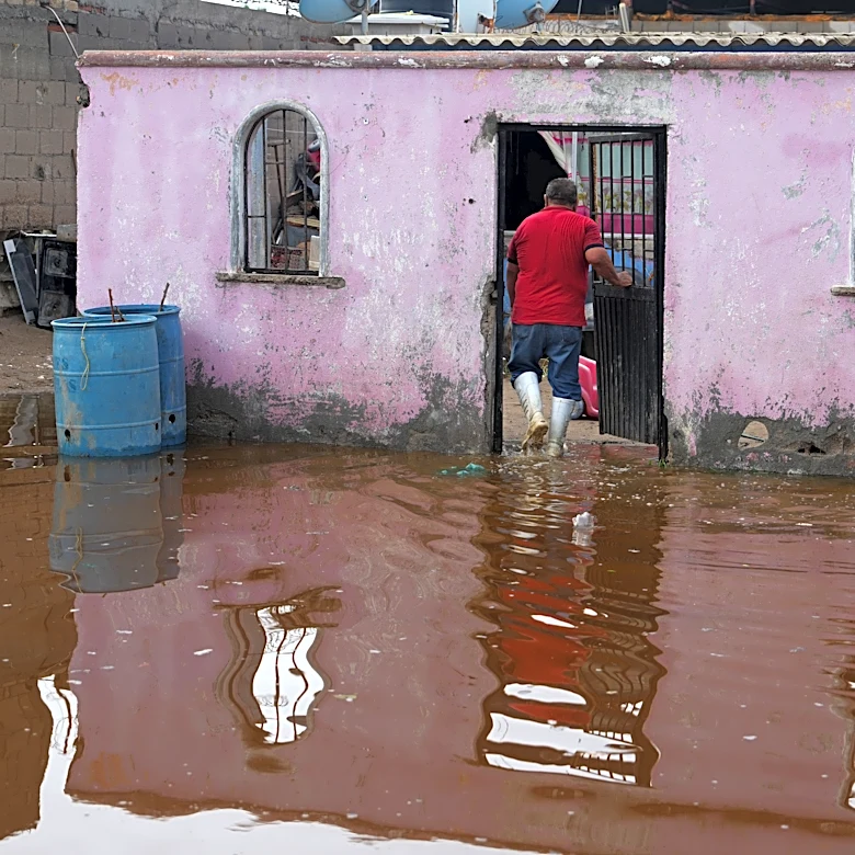
The shift in Houston's weather from a breezy Tuesday to a period of increased storm and flood risk later in the week carries significant implications for residents and infrastructure. Elevated rain chances and the potential for flash flooding, particularly in the broader Texas region including parts of Houston, can disrupt daily life, commute times, and local businesses. Flash flooding poses a direct threat to public safety, potentially leading to road closures, property damage, and the need for emergency services. For the Houston area, which has experienced severe flooding events in the past, any forecast of heavy rain and flood risk is taken seriously, prompting residents to prepare and local authorities to monitor conditions closely. The impact on transportation networks, particularly the I-35 corridor, can affect regional commerce and supply chains. Furthermore, the sustained period of elevated rain chances could strain drainage systems and increase the risk of more widespread flooding, impacting both residential and commercial properties.
What's Next?
Houston residents should prepare for increasing chances of scattered showers and thunderstorms starting Wednesday, with elevated rain chances continuing through the end of the week. The primary concern will be the potential for flash flooding, especially in the Hill Country and along the I-35 corridor, but also with possible impacts in the Houston area. Local weather authorities will likely issue advisories and warnings as conditions evolve. Residents are advised to stay informed through official weather channels, secure outdoor items, and have a plan in place for potential flooding, including avoiding flooded roads. Emergency services and city departments will be on alert to respond to any weather-related incidents. Businesses may need to adjust operations or delivery schedules in anticipation of adverse weather conditions. The long-term forecast will be crucial for understanding the duration and severity of the flood threat.
Beyond the Headlines
The recurring threat of heavy rainfall and potential flooding in Houston and across Texas highlights the broader challenges posed by climate patterns and urban development. While individual weather events are natural occurrences, their intensity and frequency can be exacerbated by changing climate conditions. For Houston, a city with extensive impervious surfaces and a history of significant flood events, effective stormwater management and resilient infrastructure are paramount. This forecast underscores the ongoing need for investment in flood mitigation projects, such as improved drainage systems and green infrastructure, to protect communities and economic assets. Furthermore, it emphasizes the importance of public awareness and preparedness, fostering a culture of resilience among residents. The economic impact of such weather events extends beyond immediate damage, affecting insurance markets, property values, and long-term urban planning strategies, pushing for more sustainable and adaptive development practices in vulnerable regions.