


What's Happening?
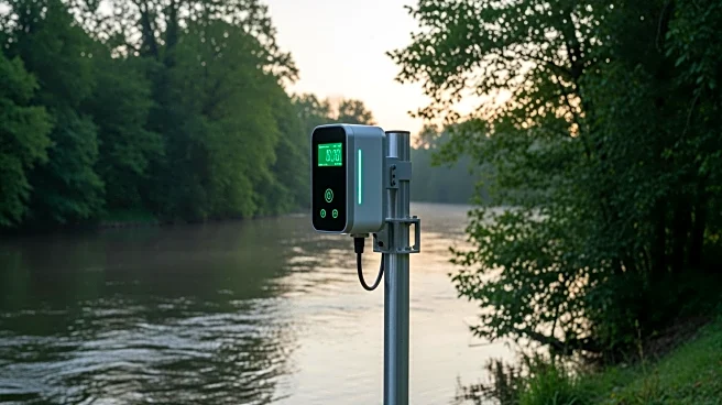
Kerr County, Texas, is set to enhance its flood monitoring and public warning systems with a $14.7 million state broadband award. The Kerrville Public Utility Board (KPUB) leads this initiative, which aims to upgrade the communications infrastructure
for faster data transmission from field sensors to emergency management systems. The project, part of the Texas Middle Mile Program, involves a partnership with several local and regional entities, including the Upper Guadalupe River Authority and the Texas Department of Transportation. The focus is on building a high-speed network that connects various monitoring devices to flood forecasting systems in real time. This upgrade is expected to reduce data reporting intervals significantly, allowing for earlier detection of dangerous conditions and faster emergency response. The project is scheduled for completion by December 31, 2028, with the state maintaining an interest in the assets until August 31, 2035.
Why It's Important?
The enhancement of flood monitoring systems in Kerr County is crucial for improving public safety and emergency response times. By reducing data reporting intervals from 30 minutes to as little as five minutes, the project aims to provide timely warnings and better coordination among emergency responders. This can potentially save lives and reduce property damage during flood events. The initiative also represents a significant investment in local infrastructure, which could have broader economic benefits by creating jobs and improving connectivity in the region. Additionally, the project sets a precedent for other regions to follow, highlighting the importance of modernizing infrastructure to address climate-related challenges.
What's Next?
As the project progresses, stakeholders will focus on constructing and operating the new communications infrastructure. The Kerrville Public Utility Board, along with its partners, will oversee the implementation of fiber-optic and wireless technologies to ensure the system's effectiveness. The Upper Guadalupe River Authority plans to use the integrated data for predictive flood modeling, which could further enhance the region's preparedness for future flood events. Continued collaboration among local and regional entities will be essential to meet the project's completion deadline and achieve its objectives.