




What's Happening?
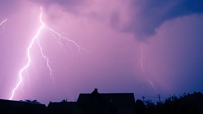
Southeastern parts of South Dakota are bracing for a return of severe weather, designated as a First Alert Weather Day. Isolated strong to severe thunderstorms are anticipated for locations situated east of the Missouri River, where a Level 2 of 5 severe weather threat
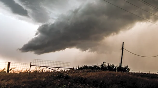
has been issued. A broader Level 1 threat covers much of the remaining area. Storm development is expected to commence in the late afternoon hours and could persist into the overnight period leading into Tuesday morning. The primary concerns associated with these storms are large hail and strong wind gusts. Additionally, an isolated tornado cannot be ruled out, particularly in the far southeastern regions of the area. Residents are advised to remain weather-aware due to the inherent uncertainty surrounding today's storm potential.
Why It's Important?
The impending severe weather poses significant risks to residents, infrastructure, and agricultural interests across southeastern South Dakota. Large hail can cause extensive damage to crops, vehicles, and property, leading to substantial financial losses for farmers and homeowners. Strong wind gusts can down power lines, disrupt transportation, and damage buildings, potentially causing widespread power outages and safety hazards. The possibility of an isolated tornado, though uncertain, elevates the threat level, as tornadoes can result in catastrophic destruction and loss of life. This weather event underscores the importance of robust emergency preparedness and communication systems to ensure public safety and minimize economic disruption in a region heavily reliant on agriculture and susceptible to extreme weather phenomena.
What's Next?
Residents in the affected areas are urged to stay vigilant and monitor weather updates from the First Alert Weather Team. The immediate next steps involve preparing for potential power outages, securing outdoor items, and having a safety plan in place, especially for those in mobile homes or vulnerable structures. On Tuesday, there will be another opportunity for showers and thunderstorms, with areas along and south of I-90 being particularly susceptible to strong winds and large hail late in the day and into the evening. Most areas north of I-90 are expected to avoid severe weather. Following Tuesday, a slight chance of rain is forecast for Wednesday and possibly Thursday, with temperatures cooling to the 70s for highs across most of the area before gradually warming back into the 80s by the weekend.
Beyond the Headlines
The recurring threat of severe weather in the Midwest, as exemplified by this forecast, highlights the broader challenges of climate variability and its impact on regional resilience. Beyond immediate property damage, frequent severe weather events can lead to long-term agricultural instability, increased insurance premiums, and strain on local emergency services. The emphasis on 'weather-aware' behavior reflects a growing need for public education and individual preparedness in regions prone to such phenomena. Furthermore, the distinction between Level 1 and Level 2 threats, and the specific mention of isolated tornado potential, indicates the sophisticated, yet still uncertain, nature of modern meteorological forecasting. This ongoing battle with unpredictable weather patterns underscores the continuous need for investment in weather monitoring technology and community-level disaster mitigation strategies.