
What's Happening?
The U.S. Gulf Coast is under watch for potential tropical development this week, with a broad area of low pressure forming in the extreme Southern Gulf, specifically the Bay of Campeche. The National Hurricane
Center has increased the development odds to 70% over the next seven days, though the chances remain low at 30% for the next two days, indicating a slow development process if it forms into a tropical cyclone. Forecast confidence regarding the disturbance's exact track, intensity, and timing of potential landfall remains very low, with models showing significant disagreement. However, current trends suggest the system could move north or northeast towards the Gulf Coast region by the end of the week or weekend. The next name on the list for a tropical storm is Isaias. Persistent west-to-east wind shear along the immediate Gulf Coast is expected to limit the system's development or cause weakening before landfall.
Why It's Important?
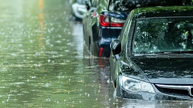
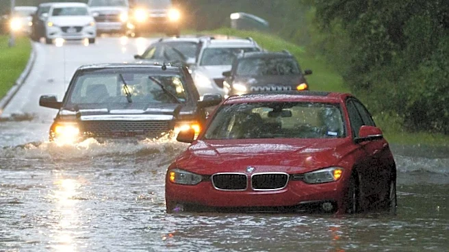
This potential tropical development is critically important for U.S. coastal communities, particularly in Louisiana and other Gulf states. Even if it doesn't reach tropical storm strength, the primary concern is significant rainfall, which could lead to localized flooding, disruptions to infrastructure, and agricultural impacts. The uncertainty in forecasting poses challenges for emergency management agencies and residents, requiring them to remain vigilant and prepared. Economically, potential disruptions to shipping, oil and gas operations in the Gulf, and tourism could have ripple effects across the region. For the insurance industry, even minor tropical events can lead to substantial claims, affecting premiums and risk assessments. The situation underscores the ongoing vulnerability of the Gulf Coast to weather events and the need for robust preparedness and mitigation strategies to protect lives and property.
What's Next?
Residents along the U.S. Gulf Coast, especially in Louisiana, are advised to monitor official weather updates closely from the National Hurricane Center and local authorities. The immediate focus will be on tracking the development of the low-pressure system and any changes in its projected path and intensity. Emergency services will be on standby, and communities may begin to implement preparedness measures, such as reviewing evacuation plans and securing property. The forecast currently indicates scattered rains from Friday through Sunday, with amounts varying significantly depending on the system's track. The presence of wind shear is a favorable factor that could limit the system's strength. However, the situation remains fluid, and rapid changes are possible. The public should be prepared for potential wet weather and localized impacts, even if a named storm does not materialize.
Beyond the Headlines
The recurring threat of tropical weather in the Gulf of Mexico highlights the broader challenges of climate change and its impact on coastal resilience in the U.S. Each potential storm serves as a reminder of the increasing frequency and intensity of extreme weather events. This situation prompts deeper discussions about long-term infrastructure investments, coastal restoration projects, and sustainable urban planning to protect vulnerable communities. Furthermore, the low forecast confidence and model disagreements underscore the complexities of weather prediction in a changing climate, emphasizing the need for continued advancements in meteorological science and technology. Socially, these events often bring communities together in preparation and recovery, but they also expose existing inequalities, as some populations are more vulnerable to the impacts of natural disasters. The ongoing cycle of preparation and recovery also places a significant psychological and financial burden on residents and local governments in affected areas.