


What's Happening?
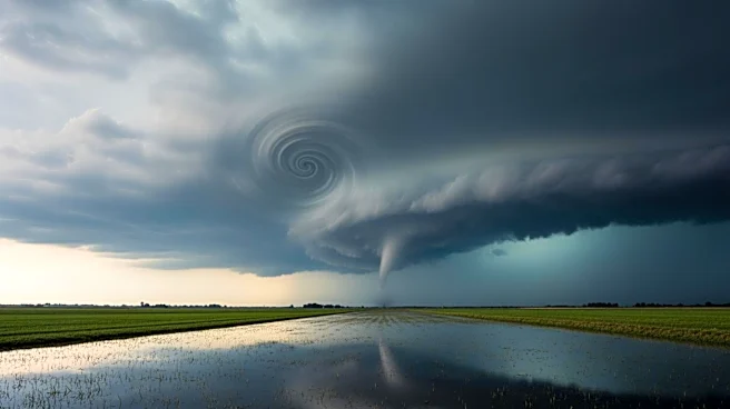
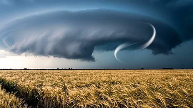
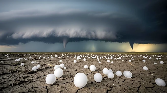
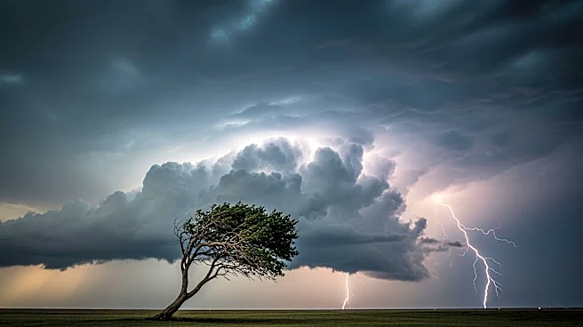
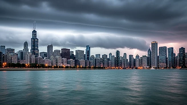
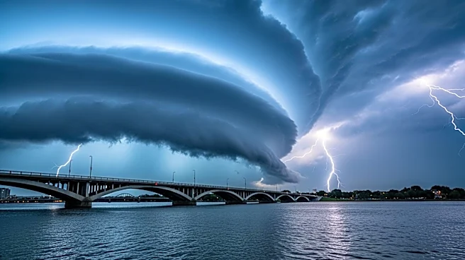
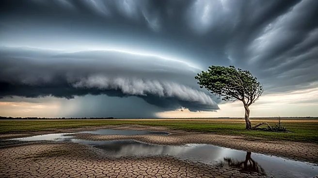
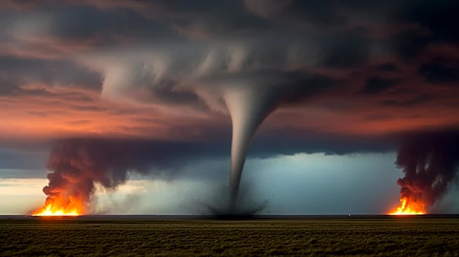
Chicago is bracing for severe weather conditions on Monday, with the National Weather Service warning of potentially severe thunderstorms that could bring tornadoes, strong winds, and hail to several Illinois counties. The greatest risk for tornadoes is south
of the Kankakee and Illinois River valleys. Weaker storms are expected to bring rainfall during the late morning, with a higher risk of severe thunderstorms occurring in the afternoon and evening. In Chicago, showers are expected before noon, with stronger storms rolling in between noon and 3 p.m., accompanied by wind gusts up to 40 mph. The threat could shift further north if the warm front moves as predicted, potentially causing localized flooding and renewed rises to local area rivers.
Why It's Important?
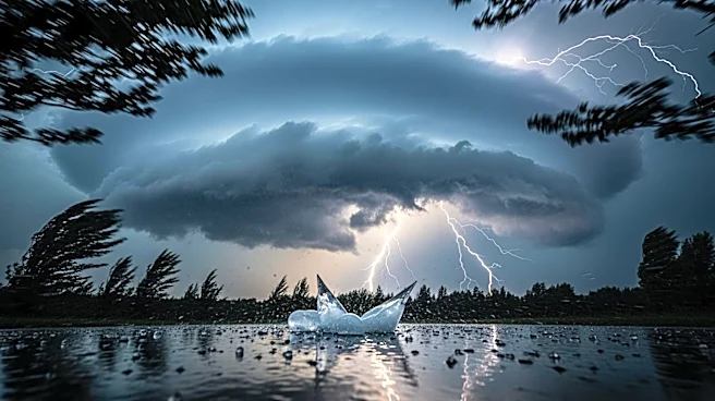
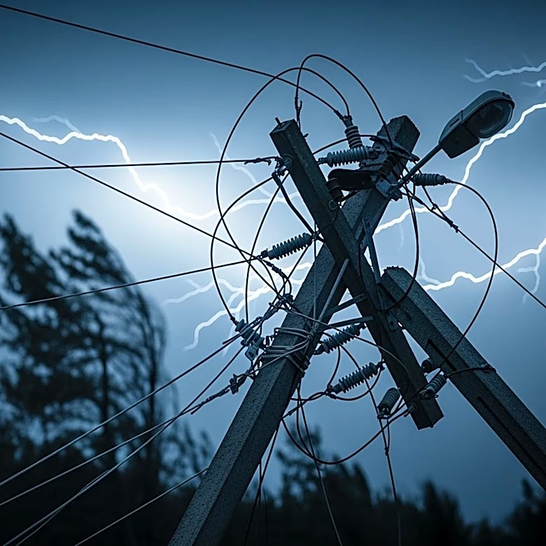
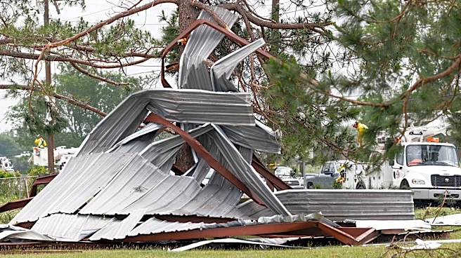
The severe weather poses significant risks to the affected areas, including potential property damage from tornadoes and flooding. Residents south of Interstate 80 are particularly vulnerable, and the shifting warm front could expand the threat to more northern areas. The impact on local infrastructure, such as roads and rivers, could disrupt daily activities and necessitate emergency responses. The situation underscores the importance of preparedness and timely communication from weather officials to mitigate risks and ensure public safety.
What's Next?
Weather officials will continue to monitor the situation closely, providing updates as the storm system progresses. Residents are advised to stay informed through local news and weather alerts, and to take necessary precautions to protect themselves and their property. Emergency services may be on standby to respond to any incidents resulting from the severe weather, and local authorities could issue warnings or advisories as conditions evolve.