


What's Happening?
Researchers have developed a new method to link deep-sea mud layers, known as turbidites, to specific landslides caused by earthquakes, rather than storms or floods. This breakthrough, detailed in a study published in Science Advances, allows for more
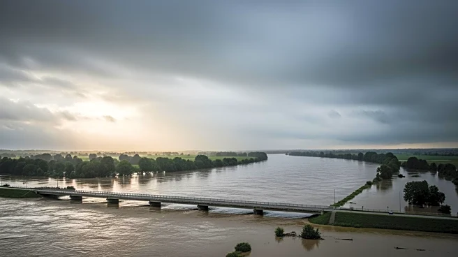
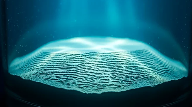
accurate reconstruction of earthquake timelines along the Pacific Coast. Using high-definition mapping and radiocarbon dating, scientists have confirmed that major earthquakes in the region occur approximately every 500 years, with the last significant event in 1700. The study utilized autonomous underwater drones and tethered robots to map the seafloor and analyze mud samples, providing a clearer understanding of seismic activity in the Cascadia subduction zone.
Why It's Important?
This research offers a more reliable method for predicting future earthquakes, which is crucial for disaster preparedness and risk mitigation in the Pacific Northwest. Understanding the frequency and magnitude of past earthquakes can help inform building codes, emergency response plans, and public awareness campaigns. The findings also have broader implications for studying subduction zones globally, potentially improving earthquake prediction and safety measures in other regions. By providing a clearer timeline of seismic events, this study enhances the ability of scientists and policymakers to anticipate and prepare for future natural disasters.