


What is the story about?
What's Happening?
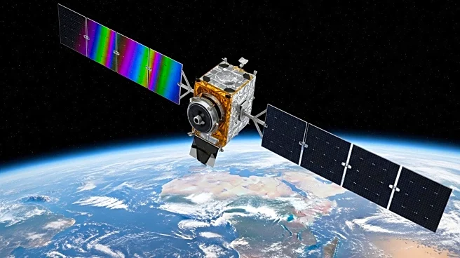
NASA's Landsat program has been a cornerstone in Earth observation, evolving significantly since its inception in 1972. The program's latest advancements include the development of sophisticated spectral bands that enhance the ability to monitor various environmental and geological phenomena. The Landsat 8 and 9 missions, equipped with the Operational Land Imager (OLI) and Thermal Infrared Sensor (TIRS), have introduced new spectral bands that improve the detection of water vapor, cirrus clouds, and land surface temperatures. These advancements allow for more precise monitoring of plant health, water usage, and urban heat islands, among other applications. The program's continuous evolution reflects its commitment to providing high-quality data for scientific research and environmental monitoring.
Why It's Important?
The enhancements in the Landsat program are crucial for a wide range of applications, from agriculture to urban planning. By improving the accuracy of data on vegetation health and water usage, the program supports better resource management and environmental conservation efforts. The ability to detect cirrus clouds and measure land surface temperatures also aids in climate research and disaster management, providing critical information for understanding and mitigating the impacts of climate change. These advancements ensure that the Landsat program remains a vital tool for scientists, policymakers, and industries that rely on accurate Earth observation data.