
What's Happening?
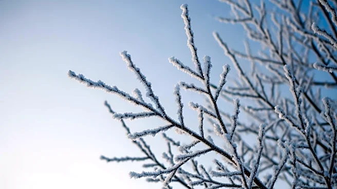
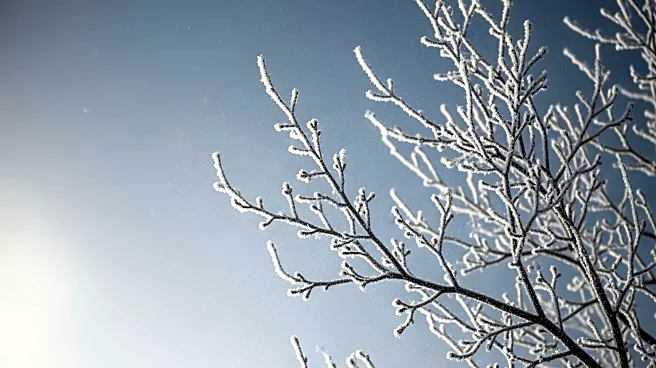
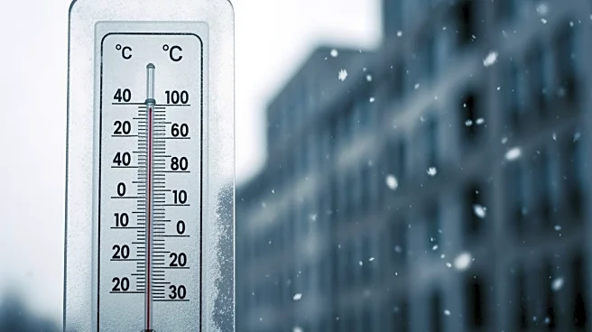
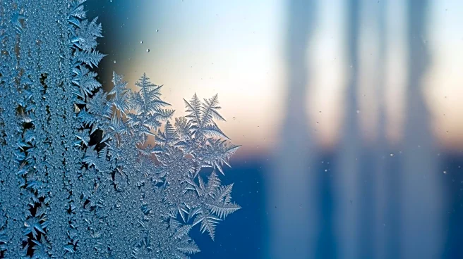
An arctic blast has brought frigid temperatures to the New York City area, ending an eight-day stretch of mild weather. The cold front has introduced biting wind chills, with values expected to be in the teens
around the metro area. In outlying areas, wind chills could drop to single digits or below zero, particularly in higher elevations like the Catskills and Poconos. The coldest days are forecasted for Tuesday and Wednesday, with temperatures potentially dropping to 16 and 18 degrees, respectively. Despite a brief warm-up on Saturday, another wave of arctic air is expected to settle in by Sunday, making for a cold Martin Luther King Jr. weekend.
Why It's Important?
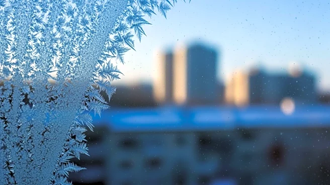
The arrival of this arctic blast is significant as it marks a shift to much colder-than-normal winter conditions for New York City, which has averaged three degrees below normal this season. The cold snap poses challenges for residents, particularly the vulnerable populations such as the elderly and homeless, who are at greater risk during extreme cold. It also impacts infrastructure, energy consumption, and public services, as increased demand for heating can strain resources. The weather conditions necessitate preparedness and caution among residents to prevent cold-related health issues and accidents.