
What's Happening?
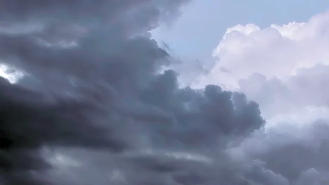
Central Wisconsin is expected to experience a series of showers and thunderstorms starting mid-week, according to weather forecasts. The region will see mostly cloudy skies on Tuesday morning, with small
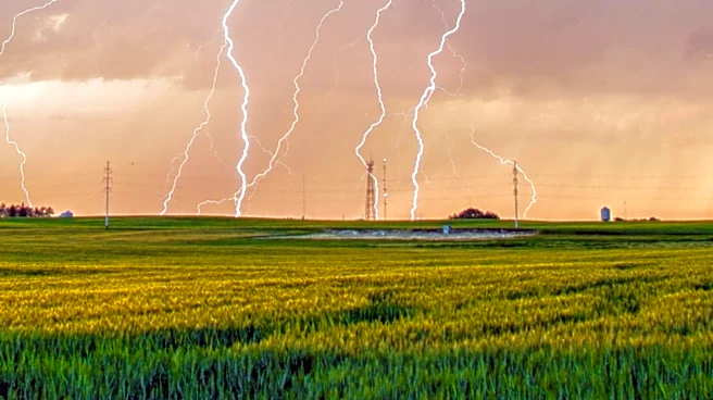
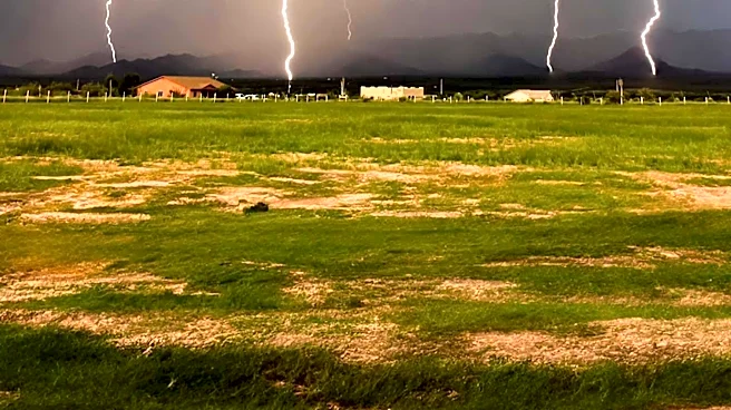
chances of showers south of WIS29. The weather is expected to clear up by the afternoon, with temperatures rising into the lower 80s. A more significant chance of showers and thunderstorms is anticipated on Wednesday morning, with the potential for strong winds and heavy rain in some areas. Another round of storms is expected on Wednesday evening, bringing brief downpours and occasional lightning. The severe weather is likely to remain south of the area, but residents are advised to stay alert for any changes.
Why It's Important?
The anticipated weather changes are significant for residents and businesses in central Wisconsin, as they could impact daily activities and operations. The potential for heavy rain and strong winds may lead to localized flooding and power outages, affecting transportation and infrastructure. Farmers and agricultural businesses may also be impacted, as the weather could disrupt harvesting and planting schedules. Additionally, the storms could pose a risk to outdoor events and activities planned for the week. It is crucial for residents to stay informed about the weather conditions and take necessary precautions to ensure safety and minimize disruptions.
What's Next?
As the week progresses, the weather is expected to clear up, with highs reaching the upper 70s by the end of the week. Partly cloudy skies are forecasted for Thursday and Friday, with lower chances of rain. However, showers are expected to return on Saturday, with temperatures cooling down to the lower to middle 70s. Residents should continue to monitor weather updates and be prepared for any changes in the forecast. Local authorities and emergency services may issue alerts or advisories if severe weather conditions develop.