





What's Happening?
Jacksonville, Florida, is currently experiencing persistent showers and gusty winds throughout the weekend, according to News4JAX Meteorologist Chris Holtzman. This weather pattern is attributed to a developing area of low pressure to the south and a high-pressure
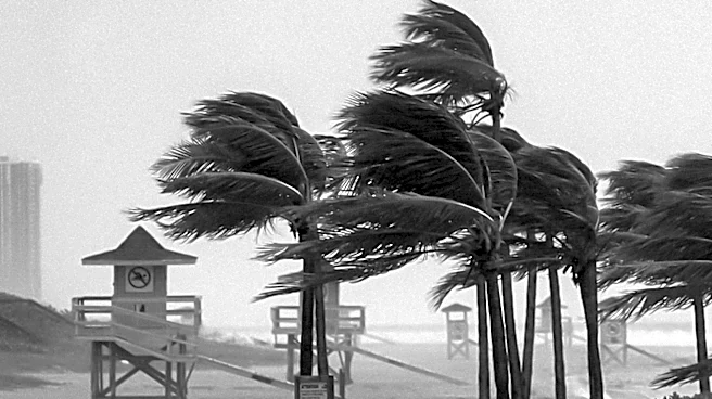
system to the north, which are collectively ushering in clouds, cooler temperatures, and windy conditions. Showers are expected to continue pushing onshore, particularly along the coast, with temperatures ranging in the 60s and 70s. A WIND ADVISORY is in effect along the coast through Sunday evening, with gusts potentially reaching up to 40 mph. Additionally, a COASTAL FLOOD WARNING is in effect through Monday evening, indicating a risk of moderate to major coastal flooding during high tide, especially if rain coincides with these periods.
Why It's Important?
The ongoing severe weather in Jacksonville carries significant implications for residents and local infrastructure. The gusty winds pose risks of power outages and property damage, while persistent rainfall increases the likelihood of localized flooding, disrupting daily commutes and potentially impacting businesses. The COASTAL FLOOD WARNING is particularly critical, as moderate to major coastal flooding can lead to road closures, damage to coastal properties, and necessitate evacuations in low-lying areas. This weather event highlights the vulnerability of coastal communities to atmospheric pressure systems and the importance of preparedness for such conditions. Local emergency services and residents must remain vigilant to mitigate potential hazards and ensure safety.
What's Next?
The current weather pattern, characterized by strong northeasterly winds, is expected to persist into early next week. This will maintain cloudy skies, windy conditions, and cooler temperatures. While rain coverage is anticipated to decrease, isolated showers will remain possible, especially along the coast. Residents should continue to monitor weather updates from local authorities and News4JAX for any changes in advisories or warnings. Preparations for potential power outages and flooding should remain in place. The long-term forecast indicates a gradual improvement in drought conditions across the area, with several regions being downgraded to 'abnormally dry,' suggesting that while immediate concerns are weather-related, the rainfall is contributing to broader environmental benefits.
Beyond the Headlines
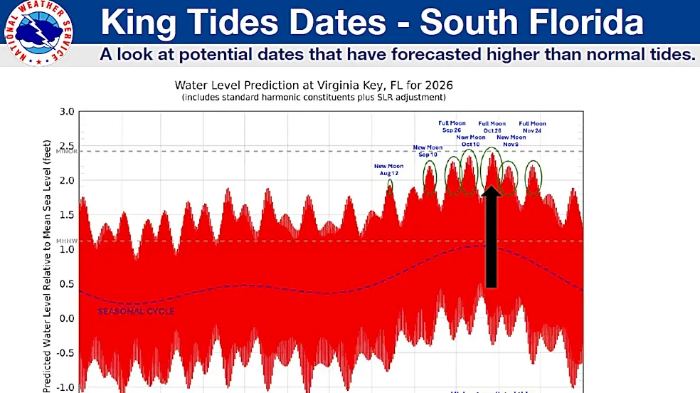
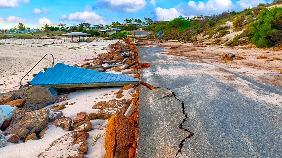
Beyond the immediate impact, the recurring nature of such weather events in coastal regions like Jacksonville underscores the broader challenges of climate change and urban development. Increased frequency and intensity of storms, coupled with rising sea levels, can exacerbate coastal erosion and flooding risks. This situation prompts a deeper consideration of long-term infrastructure resilience, urban planning, and environmental conservation efforts. Communities may need to invest more in flood defenses, improve drainage systems, and implement stricter building codes in vulnerable areas. The event also highlights the critical role of accurate meteorological forecasting and effective public communication in ensuring community safety and preparedness in the face of evolving environmental threats.