





What's Happening?
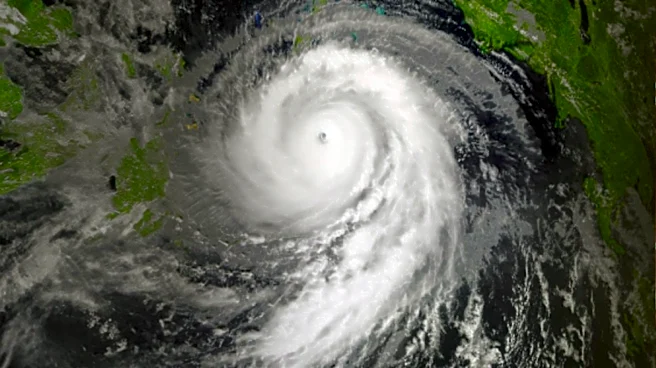
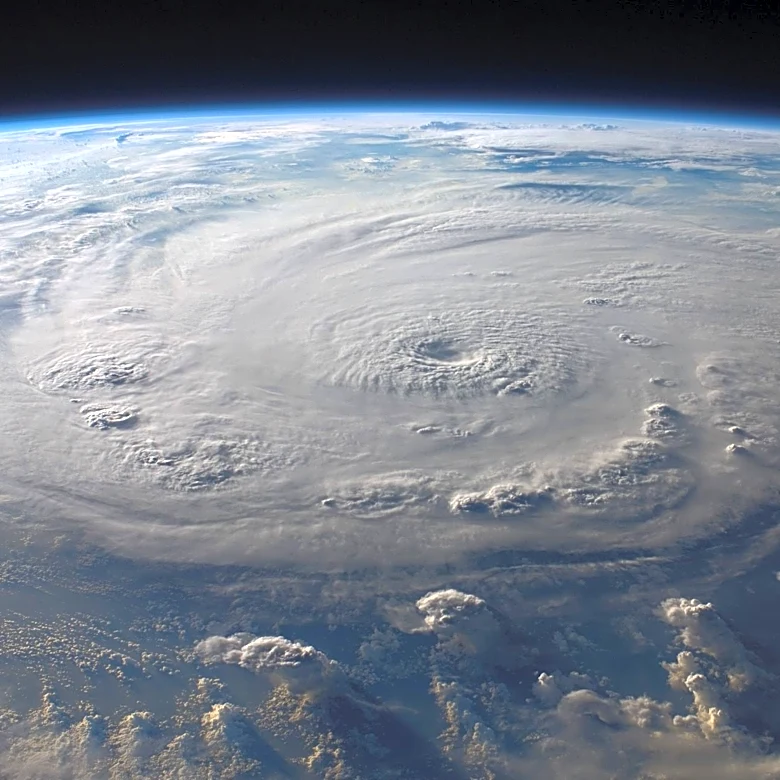
Hurricane Fausto is currently moving towards Hawaii, with its core expected to pass north of the islands. The storm, which peaked as a Category 2 hurricane, is gradually weakening and is anticipated to downgrade to a tropical storm by the time it nears
Hawaii. Despite this weakening, Fausto is expected to bring significant swells to the state, with waves potentially reaching up to 15 feet. The storm's outer bands are likely to brush the islands, although it is not expected to make direct landfall. The National Weather Service has issued advisories for dangerous surf and rip currents, particularly affecting east-facing shores. As of the latest reports, Fausto is located approximately 670 miles east of Hilo, Hawaii, moving west at 14 mph with sustained winds of 80 mph.
Why It's Important?
The approach of Hurricane Fausto is significant due to the potential impact on Hawaii's coastal areas. The anticipated high surf and rip currents pose a risk to residents and tourists, particularly those engaging in water activities. The economic implications are also notable, as disruptions to tourism and local businesses could occur if the storm's effects are severe. Additionally, the storm serves as a reminder of the vulnerability of island communities to tropical weather systems, highlighting the importance of preparedness and effective communication from weather agencies.
What's Next?
As Hurricane Fausto continues its path, residents and authorities in Hawaii are advised to monitor updates from the National Weather Service and local officials. Preparations for potential impacts, such as securing property and avoiding coastal areas, are recommended. The storm is expected to make its closest approach to Oahu and Kauai on Wednesday, with conditions likely to improve thereafter as Fausto moves away from the islands.