

What's Happening?
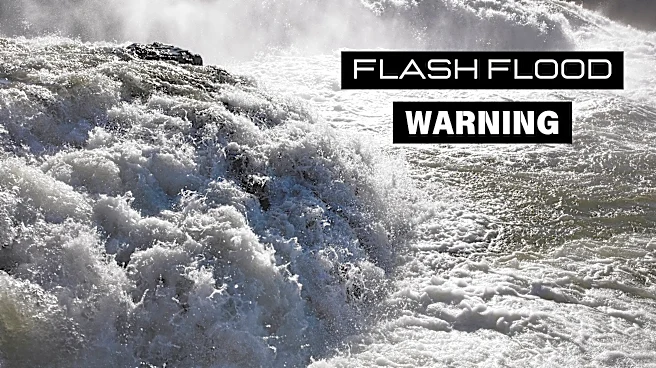
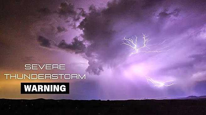
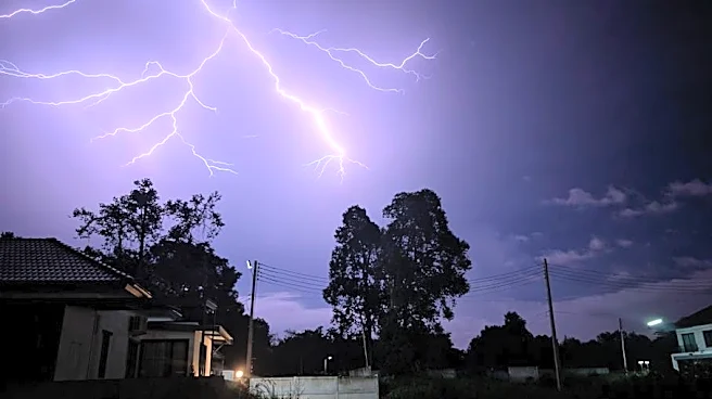
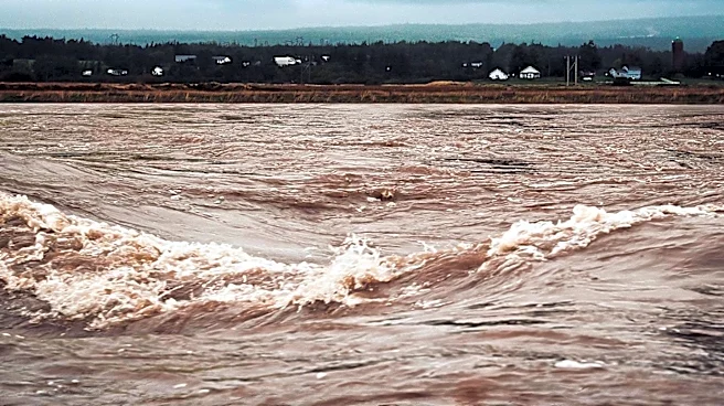
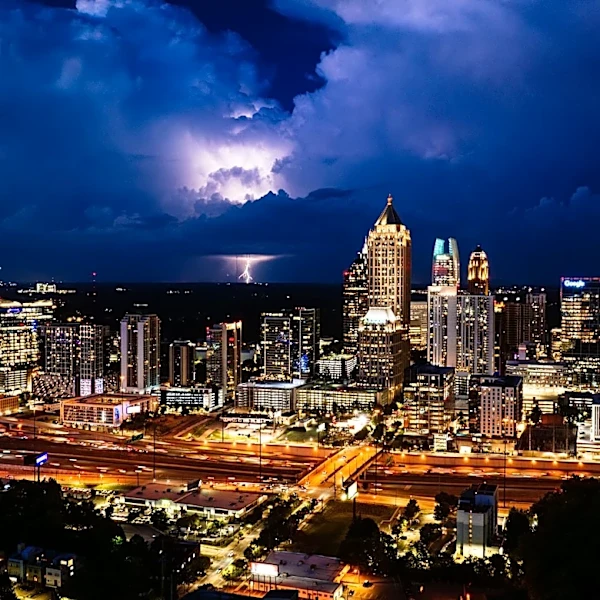
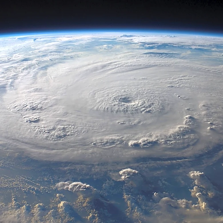
The Northeast is bracing for a significant flash flood threat this week due to an unusually strong storm system. This storm, which is expected to drop up to a month's worth of rain in just a few days, is being fueled by a pocket of energy causing severe
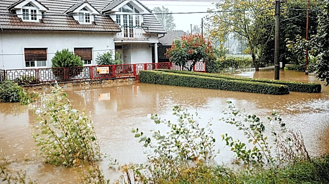
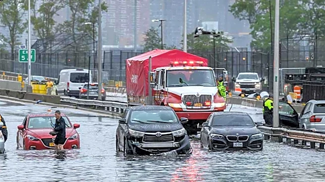
thunderstorms in the Great Lakes and Ohio Valley. The storm is anticipated to intensify as it moves into the Northeast, lingering through at least Thursday. The New York Tri-state area to Philadelphia is at the highest risk for flooding, with potential rainfall rates exceeding an inch per hour. Urban areas and regions with poor drainage are particularly vulnerable. The National Weather Service has warned of possible travel delays due to the expected heavy rainfall and thunderstorms.
Why It's Important?
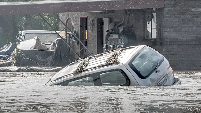
The potential for flash flooding in the Northeast poses significant risks to infrastructure, transportation, and public safety. Urban areas, in particular, could experience severe disruptions, including road closures and public transit delays. The economic impact could be substantial, affecting businesses and daily commutes. Additionally, the storm's unusual strength for this time of year raises concerns about the increasing frequency and intensity of weather events, possibly linked to broader climate patterns. This situation underscores the need for improved infrastructure resilience and emergency preparedness in the face of extreme weather.
What's Next?
As the storm progresses, emergency services and local governments will need to monitor conditions closely and respond to any flooding incidents. Residents in affected areas are advised to stay informed through weather updates and heed any evacuation orders or safety advisories. The storm is expected to weaken by Friday, but scattered showers may persist, requiring continued vigilance. Long-term, this event may prompt discussions on climate adaptation strategies and infrastructure investments to mitigate future risks.