


What's Happening?
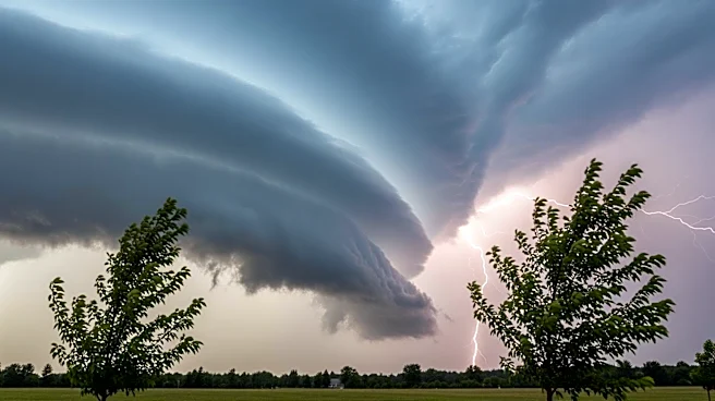
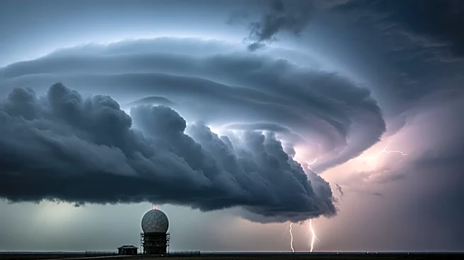
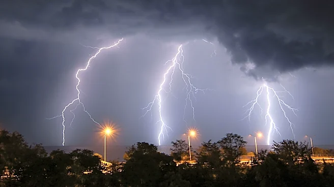
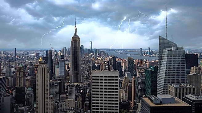
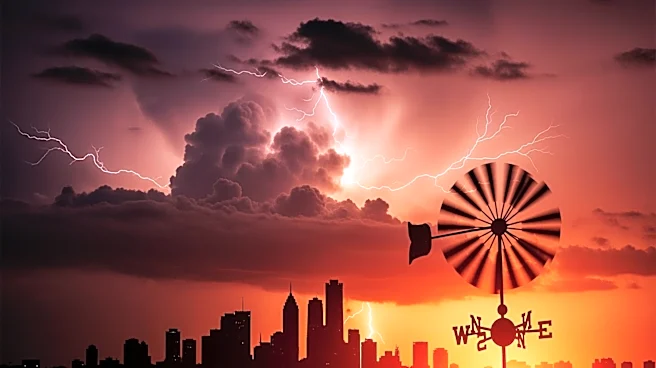
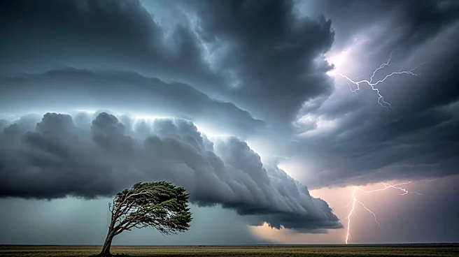
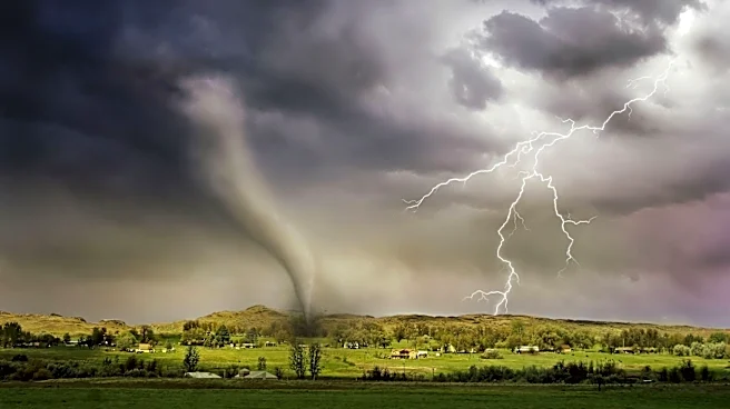
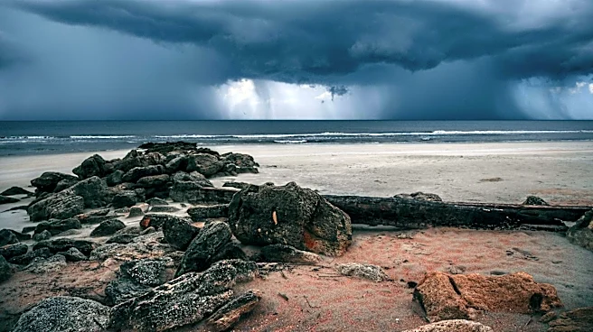
The tri-state area, including New York City, is bracing for severe weather conditions on Thursday and Friday. The National Weather Service has warned of isolated thunderstorms that could bring hail, flash flooding, and potentially weak tornadoes. The primary
threat remains damaging straight-line winds. Additionally, extreme heat is expected to blanket the area, with temperatures reaching the lower 90s and heat index values between 95 and 102 degrees. This combination of severe weather and high temperatures poses a significant risk to residents, especially during the late-day hours when storms are predicted to be most intense.
Why It's Important?
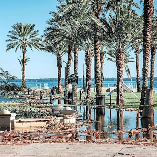
The severe weather conditions could have widespread impacts on the tri-state area, affecting daily life and potentially causing disruptions. The risk of flash flooding and tornadoes, although low, could lead to property damage and pose safety hazards. The extreme heat adds another layer of concern, particularly for vulnerable populations such as the elderly and those without access to air conditioning. The combination of high temperatures and humidity can lead to heat-related illnesses, making it crucial for residents to stay informed and take necessary precautions.
What's Next?
Residents are advised to stay updated on weather alerts and prepare for potential power outages and transportation disruptions. The severe weather threat is expected to continue into Friday, with a cold front anticipated to bring relief from the heat by the weekend. Authorities are likely to issue further advisories as the situation develops, and emergency services may be on standby to respond to any incidents resulting from the storms.