
What's Happening?
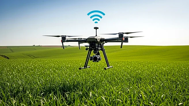
Modern agriculture is increasingly adopting aerial technology to enhance crop management and productivity. Companies like Terralynx are utilizing drones equipped with multispectral sensors and LiDAR to create detailed field maps. These maps provide insights into plant health, stress from pests or disease, and nutrient shortages, allowing farmers to make informed decisions about fertilizer and fungicide applications. The use of vegetation indices such as NDVI helps farmers optimize resource use and improve crop yields.
Why It's Important?
The integration of aerial technology in agriculture is crucial for improving efficiency and sustainability. By providing real-time data and insights, these tools enable farmers to address issues before they become visible, reducing waste and enhancing productivity. As climate change impacts agricultural practices, data-driven solutions offer a way to adapt and mitigate risks, ensuring food security and economic stability.
What's Next?
Future developments in aerial technology may focus on improving data accuracy and accessibility for small farmers, ensuring that these tools are inclusive and effective across different scales. Collaboration between technology providers and agricultural stakeholders will be essential for advancing these solutions and addressing challenges related to data privacy and ownership.
Beyond the Headlines
The use of aerial technology in agriculture raises ethical considerations regarding data privacy and ownership, particularly as farmers rely on external platforms for insights. Ensuring that data is used responsibly and transparently will be a key concern for the industry. Additionally, the shift towards data-driven practices may require farmers to develop new skills in technology management and data analysis.