



What's Happening?
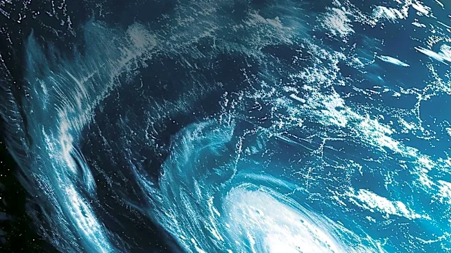
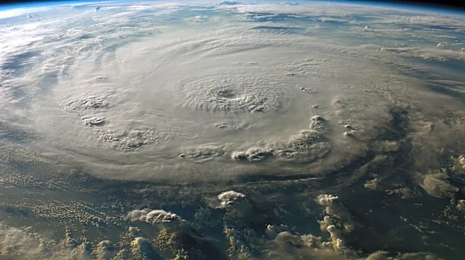
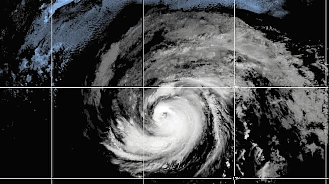
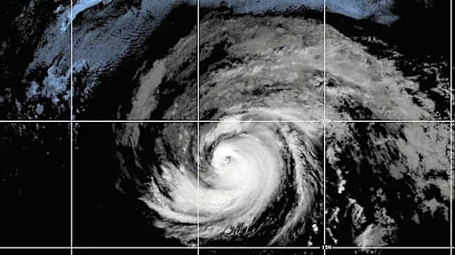
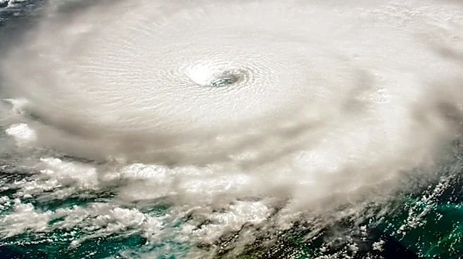
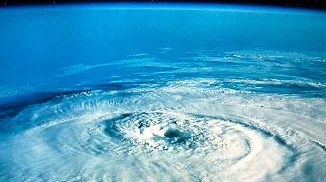
Hurricane Genevieve has rapidly intensified to a Category 5 hurricane in the eastern Pacific, located approximately 700 miles southwest of Mexico's coast. The storm's maximum sustained winds have reached 155 mph, with a central pressure of 934 millibars,
indicating its exceptional strength. Despite its intensity, Genevieve is not forecasted to make landfall, but it poses a threat to marine conditions along Mexico's southwestern coastline. The National Hurricane Center has noted the storm's rapid intensification due to favorable atmospheric conditions, including warm ocean waters and low wind shear.
Why It's Important?
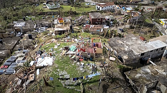
Genevieve's rapid intensification underscores the challenges in forecasting and preparing for powerful hurricanes. While not expected to make landfall, the storm's impact on marine conditions could affect coastal communities through dangerous surf and rip currents. The event highlights the importance of monitoring and understanding environmental factors that contribute to hurricane development. As climate change continues to influence weather patterns, the frequency and intensity of such storms may increase, necessitating improved forecasting and preparedness strategies.
What's Next?
Forecasters anticipate that Genevieve may strengthen slightly before beginning a gradual weakening trend as it moves over cooler waters. Despite this, the hurricane is expected to remain powerful for several days. The National Hurricane Center will continue to monitor the storm's trajectory and intensity, providing updates and advisories to ensure safety and preparedness for affected regions. The ongoing hurricane season in the eastern Pacific remains active, with meteorologists focusing on rapid-intensification events to improve forecasting accuracy.