

What's Happening?
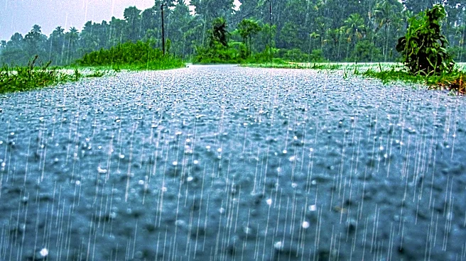
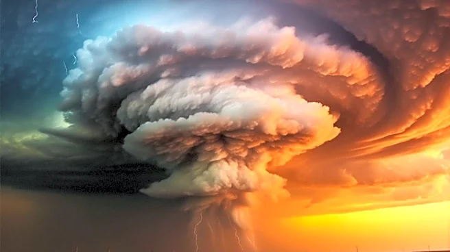
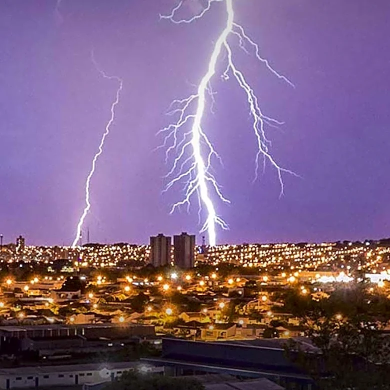
Utah is experiencing a heatwave with temperatures reaching triple digits in Salt Lake City. Heat alerts are in place across the state, with a marginal risk of excessive rainfall expected. The strongest thunderstorms are predicted in the southern half
of Utah, while the Wasatch Front may see isolated storms. The weather is expected to cool down in the coming week, with increased chances of showers and thunderstorms, particularly in central and southern regions.
Why It's Important?
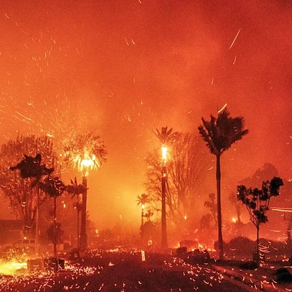
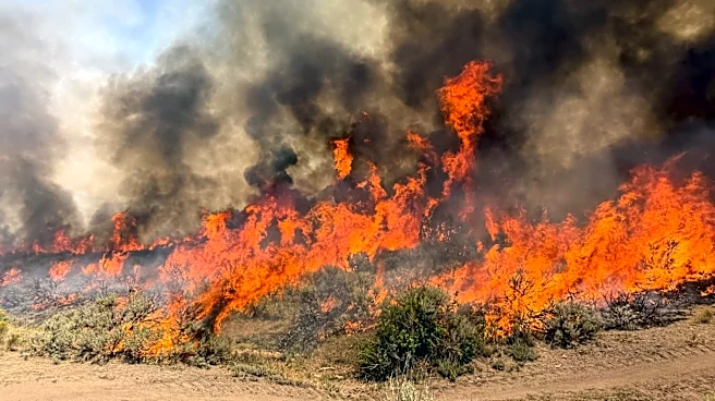
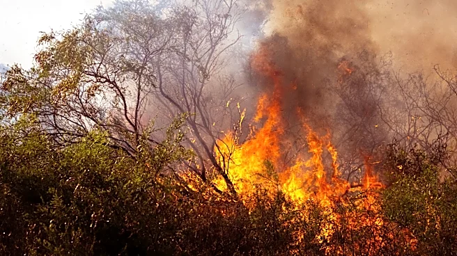
The extreme weather conditions pose significant challenges for residents and local authorities. High temperatures can lead to health risks, particularly for vulnerable populations, and strain on energy resources. The potential for thunderstorms and rainfall increases the risk of flash floods, especially in areas affected by recent wildfires. These conditions necessitate preparedness and response plans to mitigate impacts on communities and infrastructure.
What's Next?
Residents are advised to stay informed about weather updates and take necessary precautions, such as staying hydrated and avoiding outdoor activities during peak heat. Local authorities may implement measures to manage energy consumption and provide support for those affected by the weather. The situation will be closely monitored, with updates provided as conditions evolve.