





What's Happening?
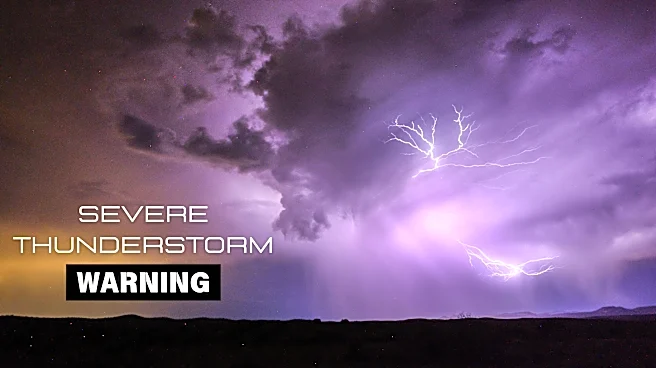
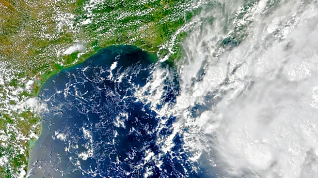
Central Florida is experiencing a weather pattern characterized by tropical moisture, leading to heavy rain and potential wind gusts of up to 50 mph. The National Weather Service has indicated that while severe weather is not expected, some storms could
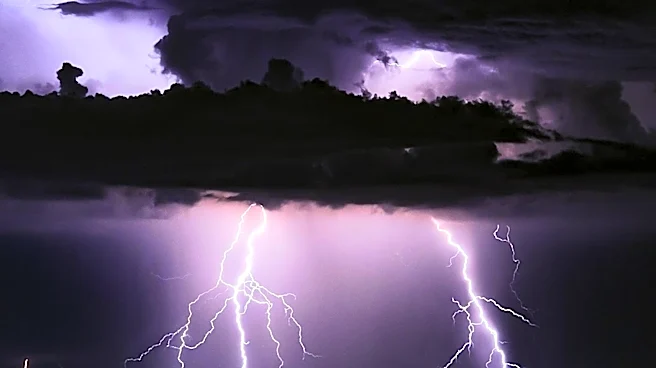
produce strong winds and frequent lightning, particularly in the early evening. The heat index is anticipated to reach triple digits before the rain begins. The weather conditions are expected to persist, with isolated showers likely to continue into the following week.
Why It's Important?
The weather conditions could impact daily life in Central Florida, affecting transportation, outdoor activities, and potentially causing localized flooding. Residents and businesses may need to prepare for possible disruptions, particularly in areas prone to flooding. The situation underscores the importance of weather preparedness and the need for effective communication from local authorities to ensure public safety.
What's Next?
As the weather system moves through the region, local authorities and emergency services will likely remain on alert to respond to any incidents caused by the weather. Residents are advised to stay informed through local news and weather updates and to take necessary precautions to protect themselves and their property. The weather pattern is expected to shift, with drier conditions anticipated in the coming days.