
What's Happening?
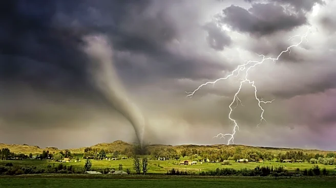
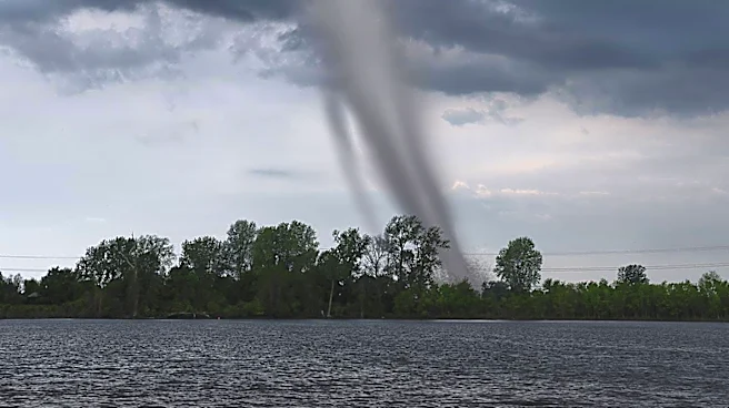
The Northeast and Mid-Atlantic regions of the U.S. are bracing for severe storms and potential flash flooding. The storms, expected to bring torrential rain and possibly tornadoes, pose a significant threat
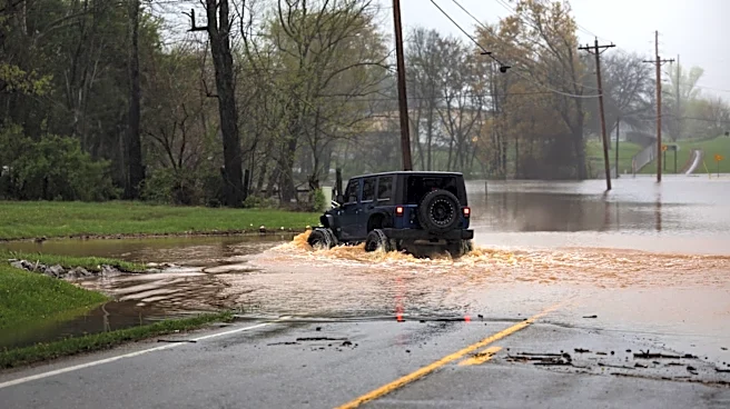
to areas along the Interstate 95 corridor, including Washington, D.C., Philadelphia, and New York City. Flood watches have been issued, with rainfall rates potentially exceeding 1 inch per hour. The severe weather follows recent heavy rains that have already impacted the region, raising concerns about further flooding and disruptions.
Why It's Important?
The anticipated severe weather in the Northeast highlights the increasing frequency and intensity of weather-related events, which can have widespread impacts on infrastructure, transportation, and public safety. The potential for flash flooding poses risks to urban areas, where drainage systems may be overwhelmed, leading to property damage and travel disruptions. This situation underscores the need for effective emergency preparedness and response strategies to mitigate the impacts of severe weather events, which are becoming more common due to climate change.