




What's Happening?
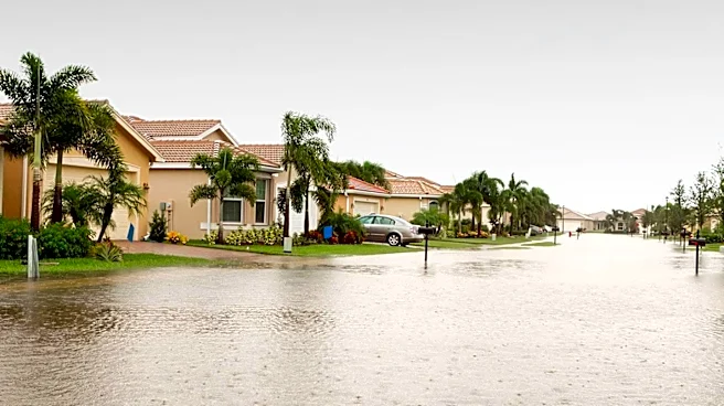
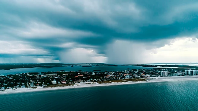
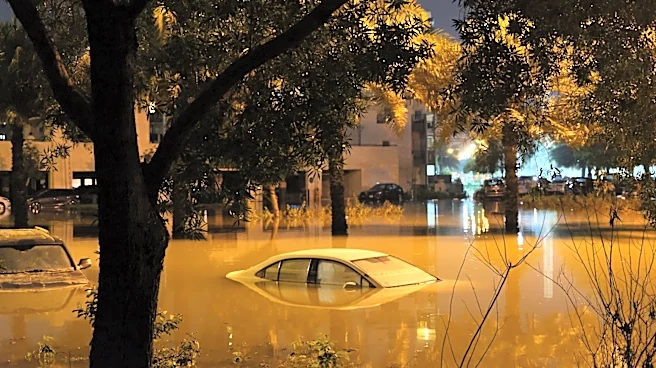
The East Coast is facing a significant weather event with the potential for flash flooding due to heavy rain and tropical downpours. A slow-moving cold front is interacting with tropical moisture, leading to multiple rounds of showers and thunderstorms
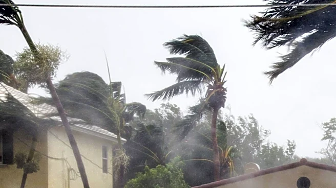
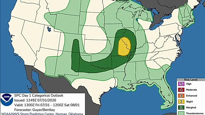
from the Mid-Atlantic to the Northeast. The FOX Forecast Center warns that some storms could produce rainfall rates of 1 to 2 inches per hour, increasing the risk of flash flooding. The greatest threat is in the Northeast and Mid-Atlantic, while the South, including the Carolinas and Florida, will also experience heavy rain and strong storms.
Why It's Important?
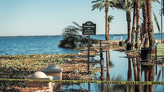
The potential for flash flooding poses a serious risk to communities along the East Coast, affecting millions of residents. Flooding can lead to property damage, disrupt transportation, and pose safety hazards. The economic impact could be significant, with potential damage to infrastructure and increased emergency response costs. Additionally, the weather event highlights the challenges of managing extreme weather conditions, which are becoming more frequent due to climate change.
What's Next?
The flash flood threat is expected to continue into the week, with a Level 1 out of 4 threat in place for Tuesday and Wednesday. Residents in affected areas are advised to stay informed about weather updates and take precautions to protect themselves and their property. Emergency services are on alert to respond to any incidents, and local governments may issue additional warnings or advisories as the situation develops.