


What's Happening?
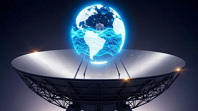
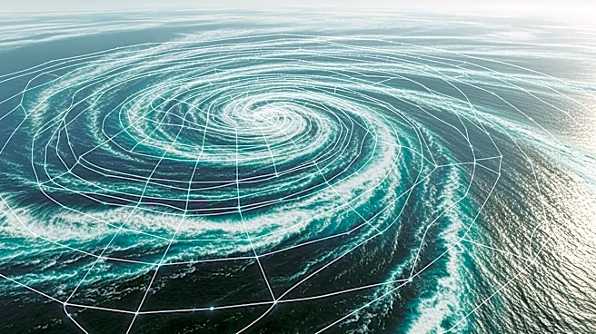
Scientists have developed a new method called GOFLOW, which uses deep learning to convert thermal images from geostationary weather satellites into detailed maps of ocean surface currents. This approach, requiring no new hardware, represents a significant
advancement in ocean observation. The method captures small-scale, rapidly evolving currents and eddies, revealing key features of vertical mixing previously observable only in simulations. The study, led by researchers from UC San Diego's Scripps Institution of Oceanography, was published in Nature Geoscience. The project was supported by grants from the Office of Naval Research, NASA, and the European Research Council.
Why It's Important?
Understanding ocean currents is crucial for climate modeling, weather forecasting, and environmental monitoring. The ability to map currents in greater detail can improve predictions of heat and carbon transport, which are vital for understanding climate change impacts. Additionally, enhanced current mapping can aid in search-and-rescue operations and tracking oil spills, providing practical benefits for maritime safety and environmental protection. The use of existing satellite infrastructure makes this method cost-effective and scalable, potentially transforming oceanographic research and applications.
What's Next?
Future work will focus on integrating additional satellite data to overcome limitations posed by cloud cover, which can obstruct thermal imagery. Researchers aim to extend the GOFLOW method globally, providing continuous coverage and supporting further research and applications. The study's data products and computer code are being made publicly available, encouraging collaboration and innovation in oceanographic research. The integration of GOFLOW into weather forecasts and climate models could enhance predictions and inform policy decisions related to climate change and marine resource management.