


What's Happening?
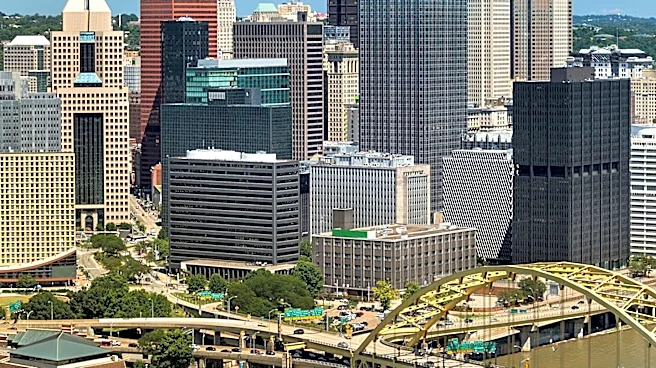
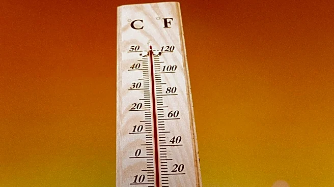
Maryland is experiencing extreme heat conditions, with temperatures reaching 100 degrees in Baltimore for the first time this year. The heat wave is expected to continue through the July 4th weekend, with temperatures remaining in the triple digits on Friday
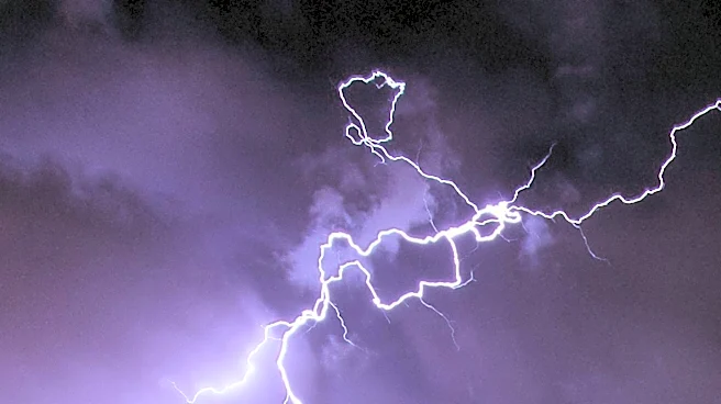
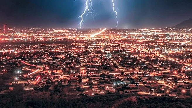
and Saturday. An Extreme Heat Warning is in effect, with heat index values reaching up to 113 degrees. Additionally, there is a risk of severe thunderstorms, particularly on Saturday, Sunday, and Monday afternoons and evenings. These storms could disrupt Independence Day plans and pose risks such as travel disruptions and localized wind damage. Air Quality Alerts are also in place due to high levels of ground-level ozone and Saharan dust, exacerbated by fireworks emissions.
Why It's Important?
The extreme heat and potential for severe storms pose significant health and safety risks to Maryland residents. High temperatures and humidity can lead to heat-related illnesses, particularly for vulnerable populations such as the elderly and those with pre-existing health conditions. The severe weather could also impact holiday celebrations, with the potential for damaging winds and heavy downpours. The Air Quality Alerts highlight the environmental impact of the heat wave, with poor air quality posing additional health risks. The situation underscores the importance of preparedness and the need for residents to stay informed through weather alerts.
What's Next?
The heat wave is expected to ease after the July 4th holiday, with temperatures dropping out of the triple digits but remaining seasonably hot. The risk of severe thunderstorms will continue through Monday, with the potential for damaging winds and heavy rain. Residents are advised to stay updated on weather conditions and take precautions to protect themselves from the heat and potential storms. Cooling centers in Baltimore City will be open to provide relief from the heat. The First Alert Weather Team will continue to monitor the situation and provide updates as needed.