


What's Happening?
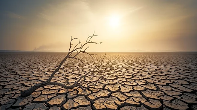
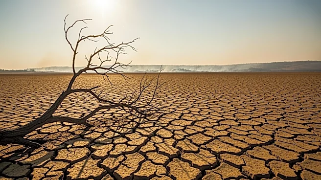
Forecasters predict the development of a 'super' El Niño in the coming months, which could significantly impact U.S. weather patterns and the Atlantic hurricane season. El Niño, characterized by warming Pacific waters, influences global weather, including
heat waves, rainfall, and hurricane activity. The NOAA's Climate Prediction Center has indicated a 61 percent chance of El Niño emerging between May and July, potentially continuing through late 2026. This event could bring more rain to the Midwest and parts of the West, while the Gulf Coast and East Coast may experience extended dry periods with occasional heavy rain.
Why It's Important?
The potential super El Niño could have widespread effects on agriculture, water resources, and disaster preparedness in the U.S. Increased rainfall in the Midwest could benefit agricultural production, while dry conditions in other regions may pose challenges. The impact on the hurricane season is also significant, as El Niño conditions are associated with fewer tropical storms and hurricanes in the western Atlantic. This could alter disaster response strategies and affect insurance industries. Understanding these patterns is crucial for planning and mitigating potential adverse effects.
What's Next?
As the spring season progresses, forecasters will gain a clearer understanding of El Niño's development and its potential classification as a super event. This will inform weather predictions and preparedness strategies for affected regions. Stakeholders, including government agencies and agricultural sectors, will need to monitor updates closely to adapt their plans accordingly. The evolving situation highlights the importance of climate monitoring and responsive planning to mitigate potential impacts.